Notes on a visit to White Mountains National Park
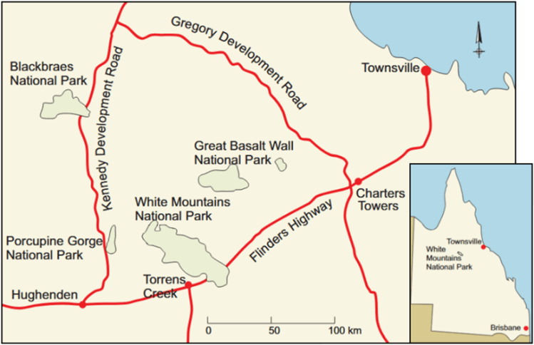
White Mountains National Park, ca 140 km south-west of Charters Towers and 80 km north-east of Hughenden, essentially circumscribes the White Mountains plateau (Fig 1). I visited this lovely, not very-often visited, Park during the dry season in late August, 2025. For two days I did not see another soul!
The National Park was established in 1990 to conserve the biology and landscapes at the northern end of the Alice Tableland Province. Continuous with the Einasleigh Uplands, the Alice Tableland is the highest part of the Desert Uplands Bioregion (750 m compared to an average of 300-400 m). In 2010, the Queensland Government added 4,200 ha to the Park, which is now 112,000 ha plus 12,000 ha of Resource Reserve.
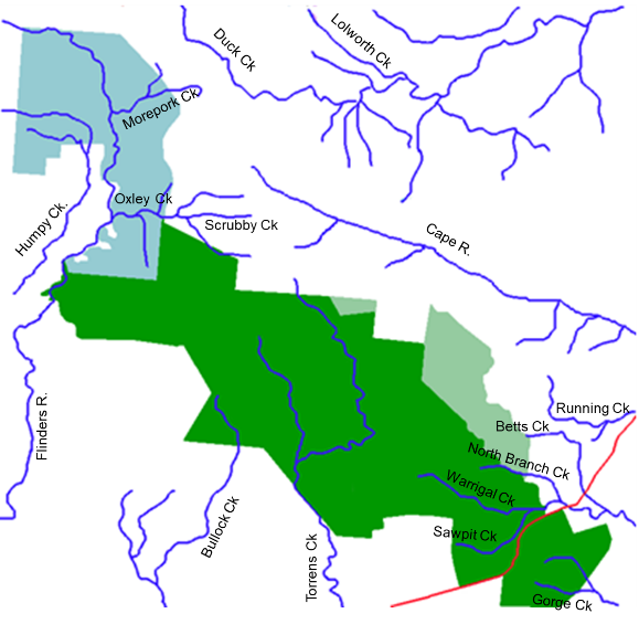
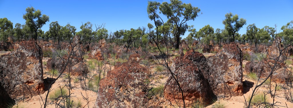
Lying on the Great Dividing Range at the edge of the Great Artesian Basin, White Mountains plateau is a sandstone outcrop of importance for water flow in north-eastern Australia (Fig 2). Its sandstone is a major infill area for the Great Artesian Basin and the headwaters of streams in it feed three major catchment and drainage systems (Figs 3a and 3b; Willmott et al 2017). During the wet season, the central section drains into Bullock and Torrens Creeks which flow through the channel country of western Queensland and feed into Lake Eyre in South Australia. The north-western section drains into the Flinders River which flows north into the Gulf of Carpentaria. Cape River and Betts and Warrigal Creeks flow into the Burdekin River and thence to the east coast.


Composition and landscape
The White Mountains plateau is dominated by white Warang Sandstone that was deposited in the Galilee Basin in the mid-Triassic (235 my) (Fig 4; Appendix I). In places, the strata contain sections of silt- and mudstone. The Triassic deposits may be overlain by Quaternary sediments whereas older Warang sandstones may be exposed in eroded areas.
The Warang sandstone weathers to typically-white, sandy soils that support botanically diverse low-nutrient-tolerant assemblages. The sandstone outcrops, sand dunes and sandy flats host, depending upon soil depth and nutrient availability, forests of eucalypts, acacias and grevilleas, open woodlands, laterite pastures, heathlands and spinifex grasslands.
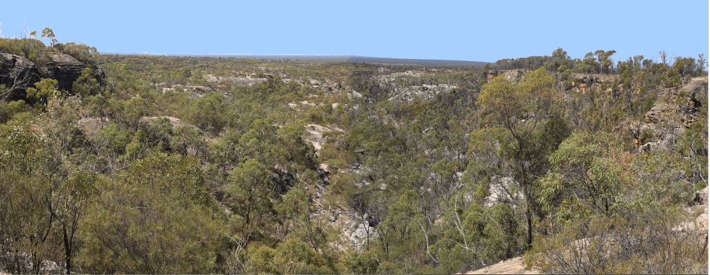
The largely bare rock-surface is broken up by chasms and gorges, particularly in the northwest where tributaries of the Flinders River have eroded along sets of major and minor fractures in the rock. Hiking is difficult and best attempted along the flat-floored stream valleys. The eastern edge is a significant escarpment that has developed where the sandstone overlies the softer underlying Betts Creek beds .
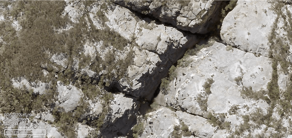
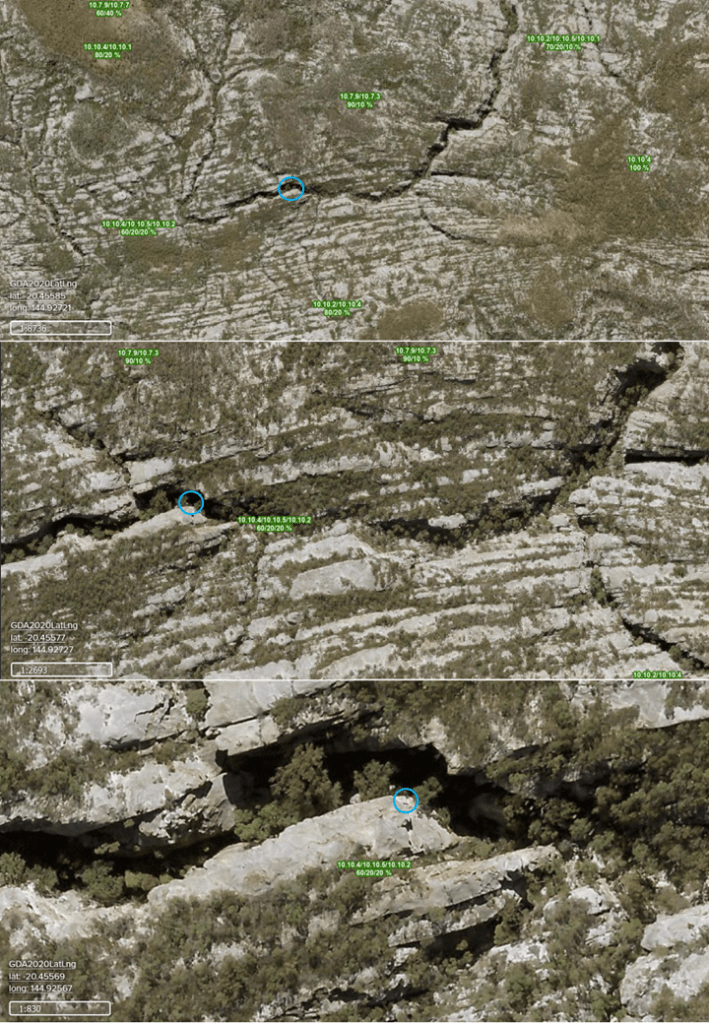
Image from https://qldglobe.information.qld.gov.au/qldglobe/public/white-mountains-national-park-0
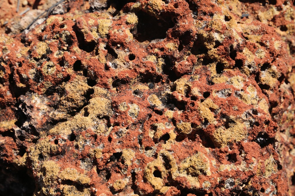
Willmott (2009) describes the area as a landscape of bare rock, scattered stunted trees and grasses, steep sandstone walls and deep ravines. The erosion of softer layers by percolating groundwater and wind has produced bluffs and crags with overhangs and caves, some with archways and columns. Surrounding patches have been hardened by minerals deposited from evaporating groundwater. Additionally, staining by iron oxides from groundwater creates coloured bands in the rock, sometimes following bedding planes, at other times abruptly changing direction to follow fractures. The Flinders River bed is wide and choked with eroded sand.
The southern part of the plateau is less dissected than the northern, with sandstone evident only on the eastern side in small cliffs above shallow valleys. The flat central surface is probably an ancient surface, as it shows evidence of deep weathering which, in north Queensland, occurred at times during the Tertiary when rocks were deeply leached by groundwater that fluctuated during wet and dry periods (Willmott et al 2017). Iron and aluminium oxides tend to concentrate near the surface in a red-brown layer, commonly hard when exposed (ferricrete). Beneath this is a mottled layer and then a strongly leached pallid layer composed mainly of clay containing aluminum silicate (kaolinite). This pattern of soil profile is a laterite and the process that forms it is lateritisation. The laterite profile on the plateau today appears patchy, as it was not originally necessarily horizontal nor continuous.
More on the White Mountain National Park sandstones
Biology
White Mountains NP is biologically speciose. About 600 species of plants, 82 species of fungi and lichen, 973 species of invertebrate and 252 species of vertebrates are listed in Tables 1 to 14 (Appendix II below – documented in Comben et al 2003 and in Wildnet 2025 – I have not cross-checked with ALA). An excellent relevant plant field guide is Jackes (https://researchonline.jcu.edu.au/68952/7/68952_Plants_of_the_Burra_Range_2021.pdf).
During a short collecting blitz in the northern Warang section of the park that was sponsored by The Royal Geographical Society of Queensland in 2003 (Comben et al 2003), Atkins et al (2003) collected 66 species of butterfly and concluded that the White Mountains butterfly fauna consists mostly of wide-ranging, actively mobile or strongly flying species which are widely dispersed and are commonly found in coastal areas. The lycaenid Nesolycaena medicea is the only species known to be endemic to the plateau. Of the species recorded, 26 were not known to regularly occur so far from the coast. In addition, Edwards (2003) collected 785 species of moths from 42 families. Greenslade (2003) reported 27 species of Collembola (springtails) belonging to 20 genera and ten families. Reeves (2003) identified 26 species of dragonflies and damselflies, and Weir (2003a, 2003b) catalogued 52 species of aquatic beetle and 16 species of semi-aquatic bugs. Grgurinovic and Simpson (2003) documented a range of fungi.
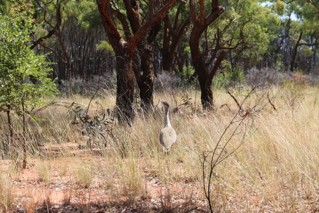
In terms of vertebrates, 6 species of fish and 14 species of amphibians were identified (Legget 2003, Kutt et al 2003); Wilson (2003) listed 46 species of reptiles, a diversity congruent with the rocky landscape that provides numerous sites of shelter. About 155 species of birds have been sighted (Wildnet 2025) and 31 species of mammals are known ( Kutt et al 2003), including 8 species of bat. This diverse vertebrate assemblage includes taxa with affiliation to north-eastern Queensland savannas, as well as species known from more mesic east coastal environments and species distributed generally within and west of the Desert Uplands.
Sites of interest for the Park visitor
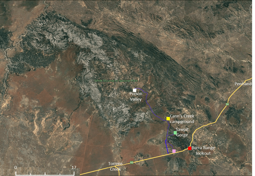
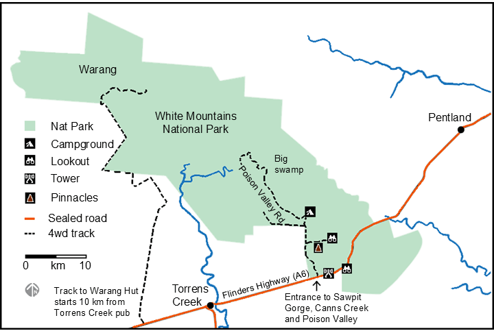
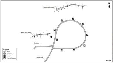
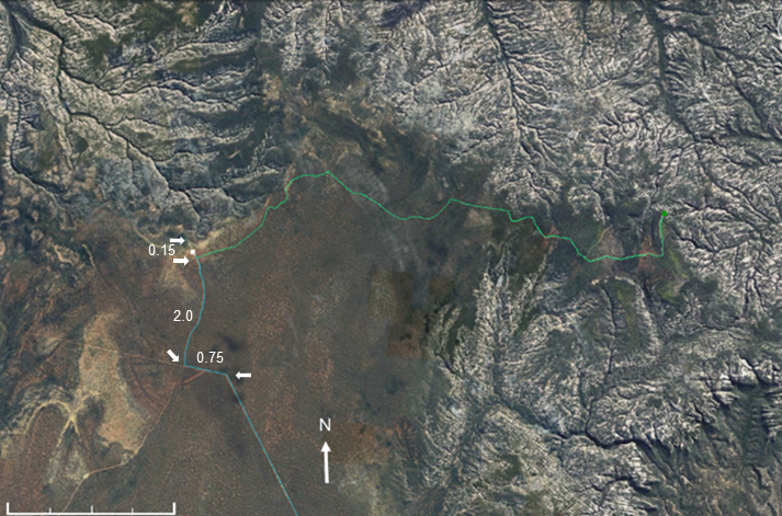
See Fig 5 for mudmap.
Burra Range lookout
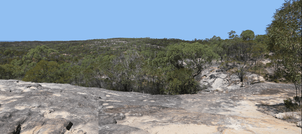
The nature of the plateau can be seen at a lookout and rest stop/picnic area on the southern side of the Flinders’ Highway at the crest of the Burra Range, 28.4 km west of Pentland (Figs 5 and 6). Viewed from a sandstone slab, the vista to the south is over the eastern edge of the plateau where it is eroded into small cliffs of Warang Sandstone. The vegetation is mostly stunted acacias and grasses growing in small patches of soil or in crevices. Some sandalwood (Santalum lanceolatum) is present. Ancient rock carvings indicate thet “Meg loves Jim. True.”
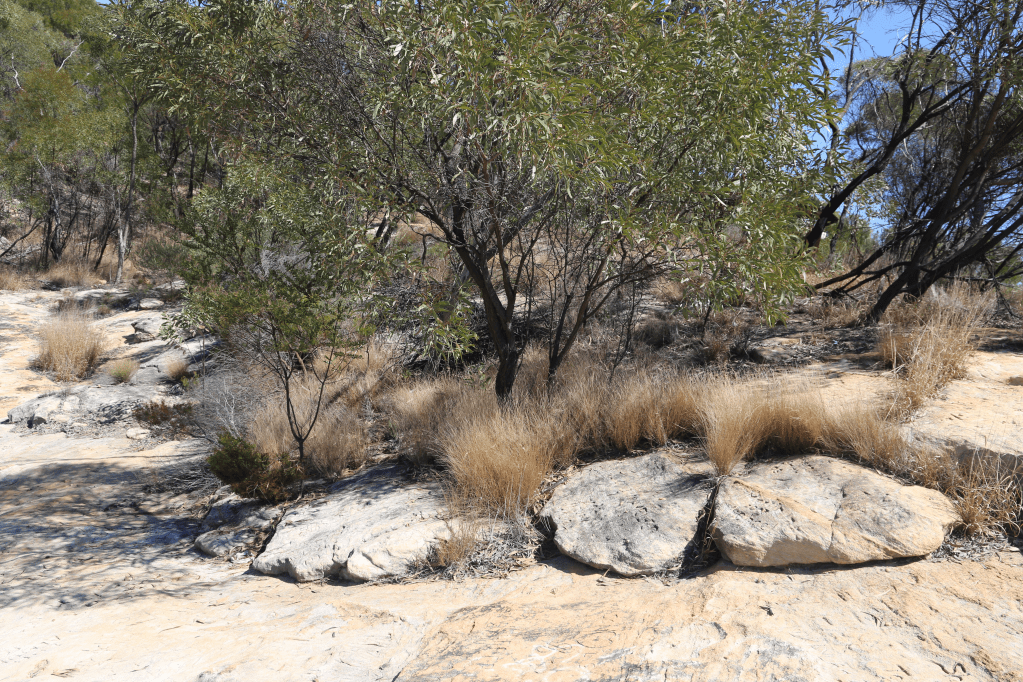
Acacias and grasses grow in crevices and patches of thin sandy soil (right)
Entering the park
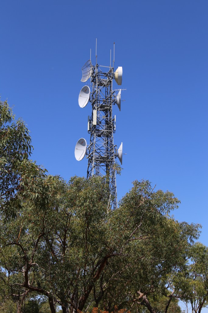
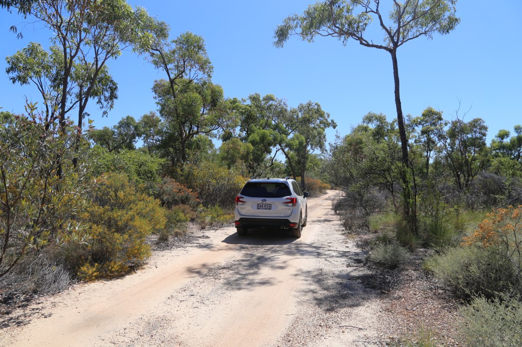
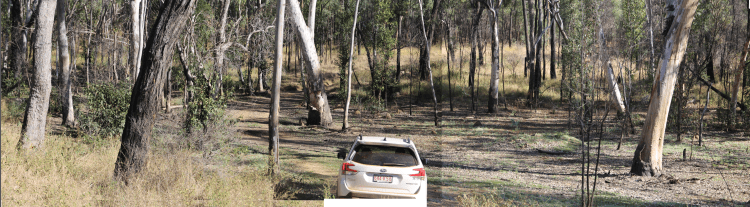
About 4.8 km west of the Burra Range lookout, at a rest-stop on the A6, a signposted 4wd track turns north to the Canns Camp Creek campground which is about 11.2 km from the highway. The entrance track passes a communications tower and traverses the flat surface of the plateau (Fig 7). A second entrance about 1.7 km towards Torrens Creek follows fence lines and is better graded – but not as pretty.

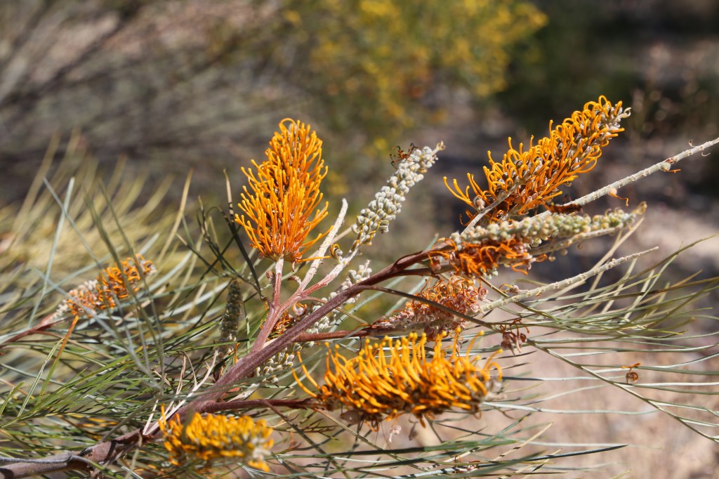
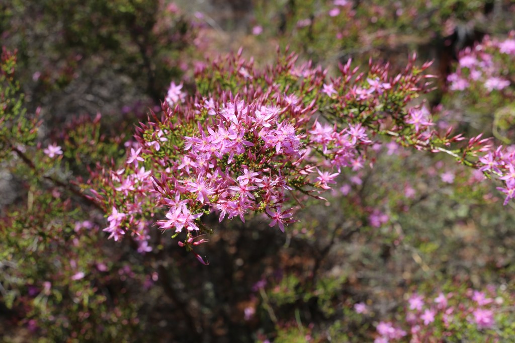
For the first section of the track the soils are reddish, stemming from the iron-rich surface layer of the laterite profile, or whiteish and sandy, reflecting the unstained Warang origin. The vegetation is tolerant of low nutrient levels, water stress and fire (Figs 8 and 9).

Sawpit Gorge
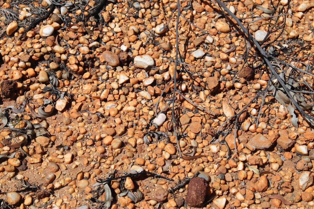
About 6 km along the entrance track, a signposted branch to the right leads through sandstone heath to Sawpit Gorge Lookout (Fig 10).

The surface is initially covered with white, rounded gravel pebbles and cobbles which originated from conglomerate (Fig 11). To the south conglomerate is visible within sandstone strata. As the rock weathers the sandstone, not lateritised in this locality, disintegrates and is washed away leaving the hard pebbles that accumulate and bleach (lag gravel).

After 1.1 km, the track passes through the hard red ferricrete layer of a laterite profile. At 1.8 km on the right, are stone pillars (pinnacles?) up to 3 m high (Figs 12 and 13). These are remnants of the ferricrete layer that has been eroded along fracture planes. The pillars contain lines of pebbles, consistent with the parent sandstone containing conglomerate beds.
At Sawpit Gorge lookout (2.8 km) one sees small gorges eroded into the Warang Sandstone and some undercut caves (Figs 14 and 15). The lookout is perched on a hard band of siltstone in the sandstone. The surrounding area is not lateritised, but to the northeast patches of dark-red ferricrete layer are visible lying on the bleached sandstone below.


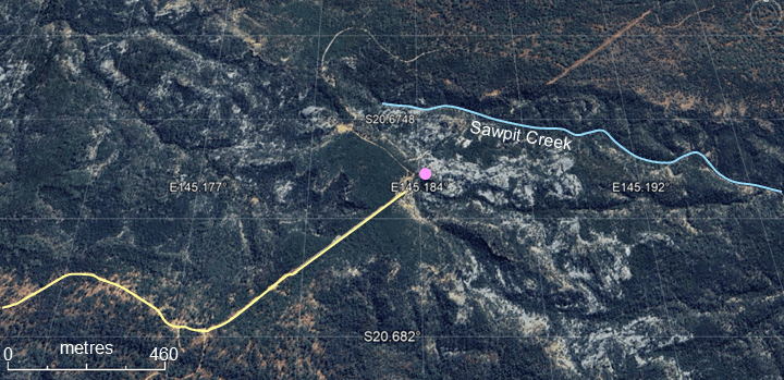
The Gorge is the headwaters of the Sawpit Creek (Fig 16), part of the Warrigal Creek system that flows into the Cape and then Burdekin rivers (Fig 4).
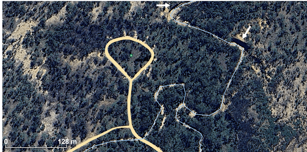
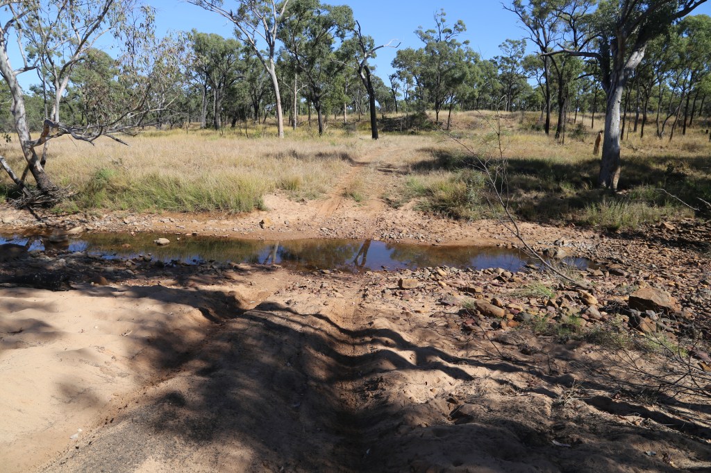
Canns Creek Camp campground (‑20.640458o S, 145.166025o E)
The 8 campsite campground, ca 5.3 km from the Sawpit Gully turnoff, is on a small alluvial flat beside the sandy-bottomed creek (Fig 17). Sites may be booked online or at the Flinders Discovery Centre in Hughenden.
Crossing the creek by car is easy in the dry – requires some care when conditions are more moist (Fig 18). In places the creek has eroded deeply into the laterite profile. Undercut cliffs beside the channel show the strata. The upper iron-rich layer is not well-developed being represented only by a hardened yellow-brown layer < 1 m thick, but the remaining leached and softened clayey part of the profile is greater than 8 m thick, with the underlying rock still not visible. Layers within the profile suggest separate beds within the parent sandstone, some with conglomerate pebbles.

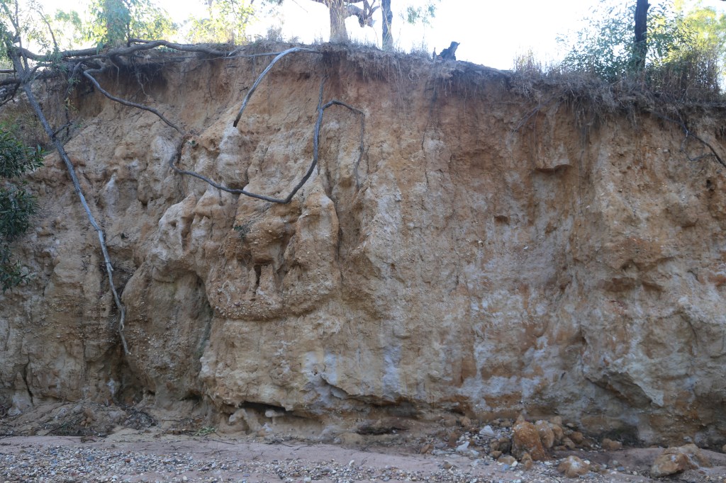
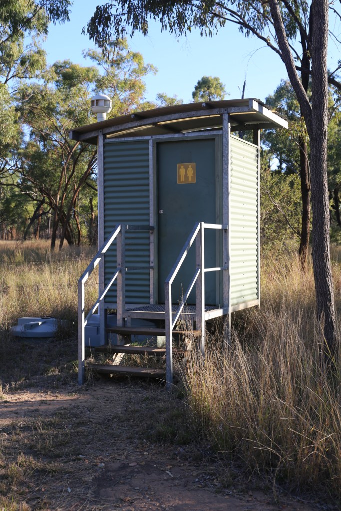
On the northern side of the campground, low sandy rises are remnants of a higher-level flat where sand was deposited by the creek. Gullies are eroding this old creek sand down to the level of the present flat. The campground contains a toilet and the numbered sites have fire-pits (Fig 19). No water or bins are provided. It is a good place to botanize and interesting soil profiles are exposed along the creek bed (Fig 20).


Poison Valley
The track to Poison Valley (21 km) from the campground is good but the signs are lousy (Fig 21).
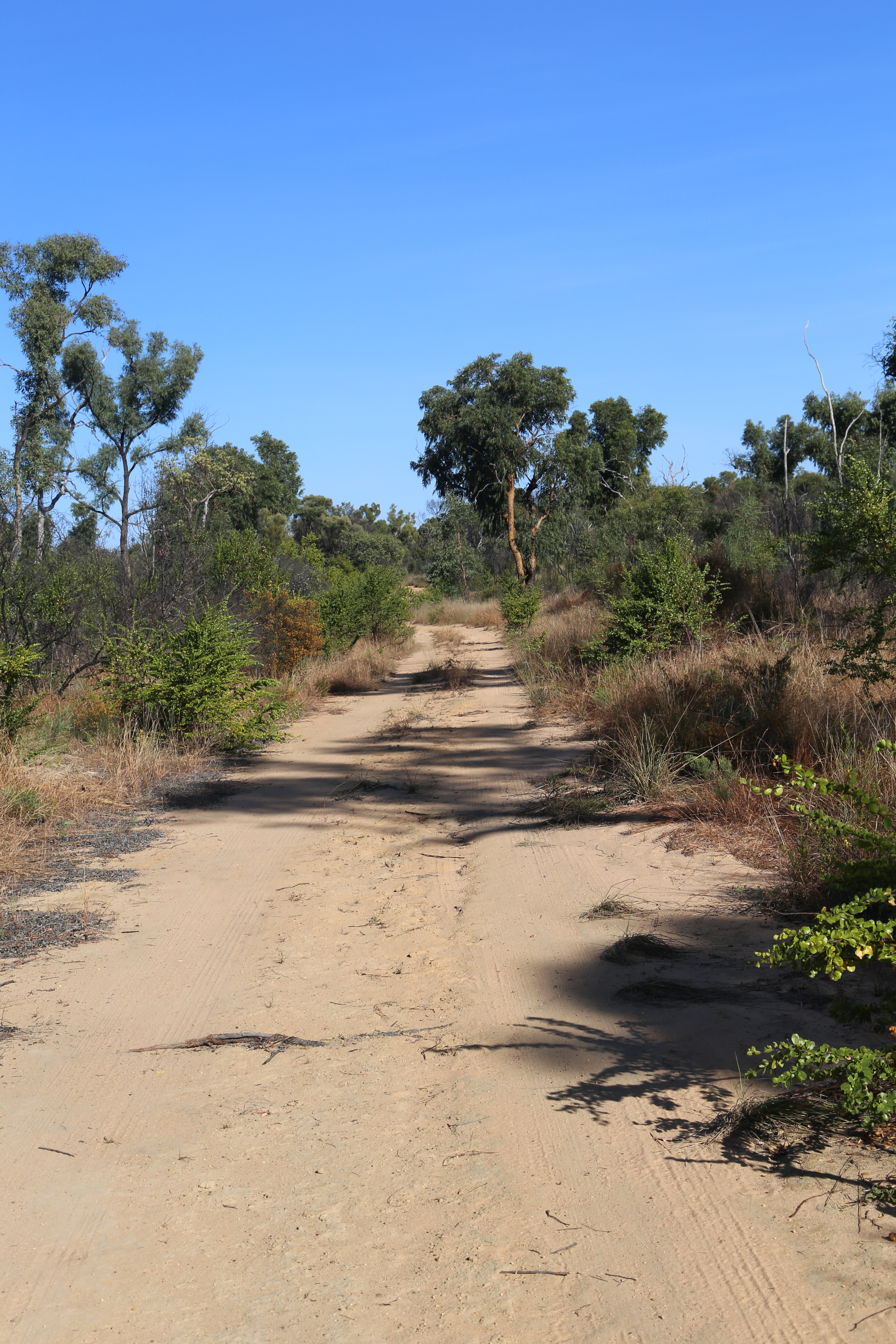

Fig 21 In general the track is very good (left) but the signs are lousy (right). Click to expand.
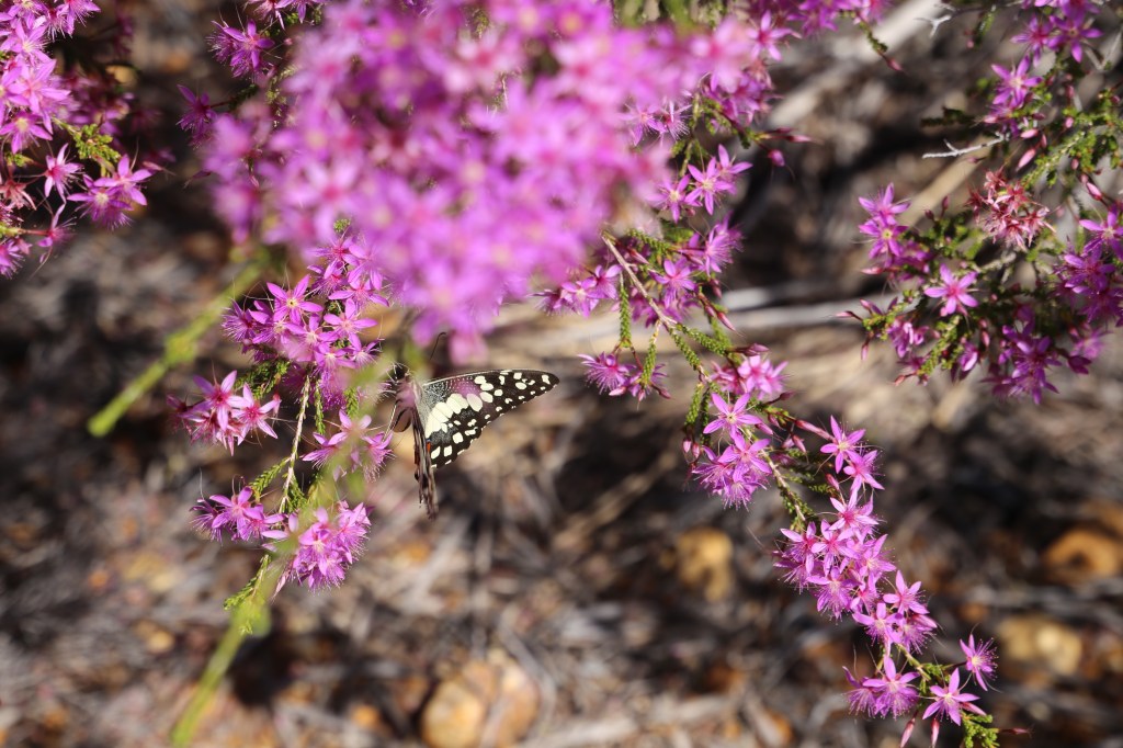
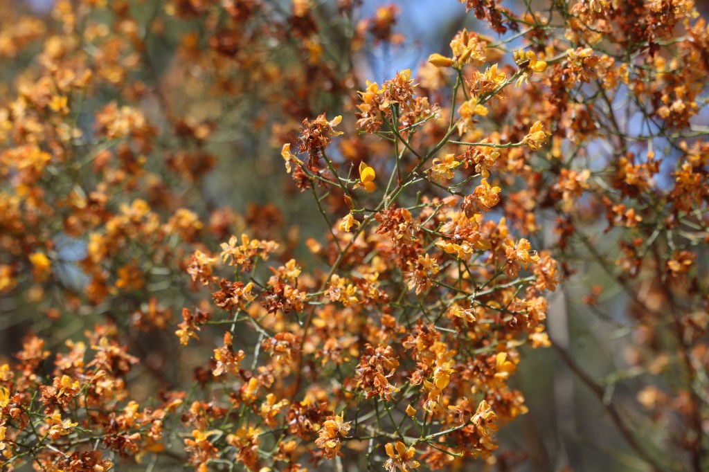
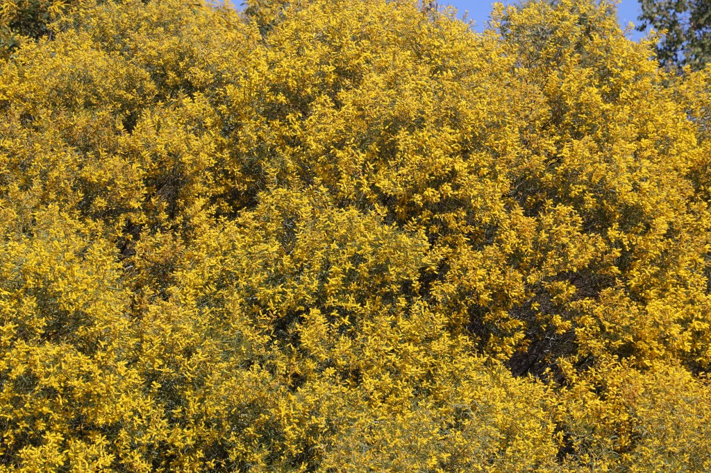
It passes through open Eucalyptus woodland, Acacia scrub and heath, and skirting a swamp on the way. Beautiful when the flowers are out (Figs 22 to 26).
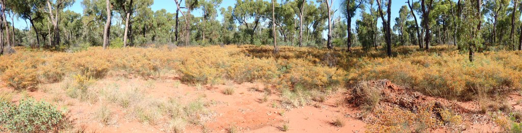

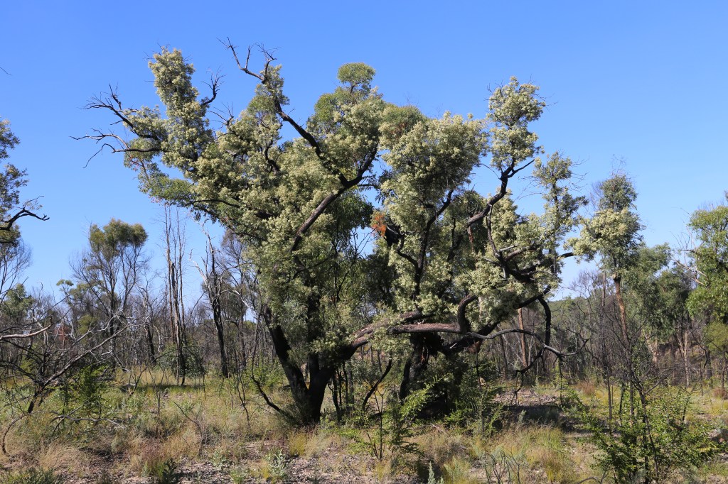
The road ends near Torrens Creek (Fig 26), the most northerly stream running into Lake Eyre. The valley, mostly open woodland (Fig 27), is named after Gastrolbium grandiflora (Fabaceae), an Australian endemic that contains the mammalian toxin monosodium fluroacetate (known as 1080)… I didn’t find any! Tattersall (2023) mentionsold cattle yards and slabs from a homestead nearby.

Warang section
The eroded and dissected northern part of the plateau is remote and difficult to reach on foot but a gazetted 52 km track to Warang Hut and camping spot, signposted “Spring Hill” and “White Mountains”, leaves the highway ca 10 km west of Torrens Creek. The track, well maintained and a little sandy in places, mainly follows fence lines and the Park boundary (see photos at https://malcolmtattersall.com.au/wp/2023/09/warang/). The Bullock Creek crossing looks like it would be hard work in the wet (Fig 28).

I never made it to the hut (Fig 29). I drove 47 km but got lost (well, got to a fence gate that I wasn’t prepared to pass through) and turned back! So close…I shall return!

Tattersall (2023) mentions that at the hut is a water tank filled from the hut roof, a composting toilet, a picnic table and a fireplace. I have been informed that the hut and picnic table have subsequently burnt down and the water tank holds no water. There is a lookout ca 12 km west of the hut (Fig 30).
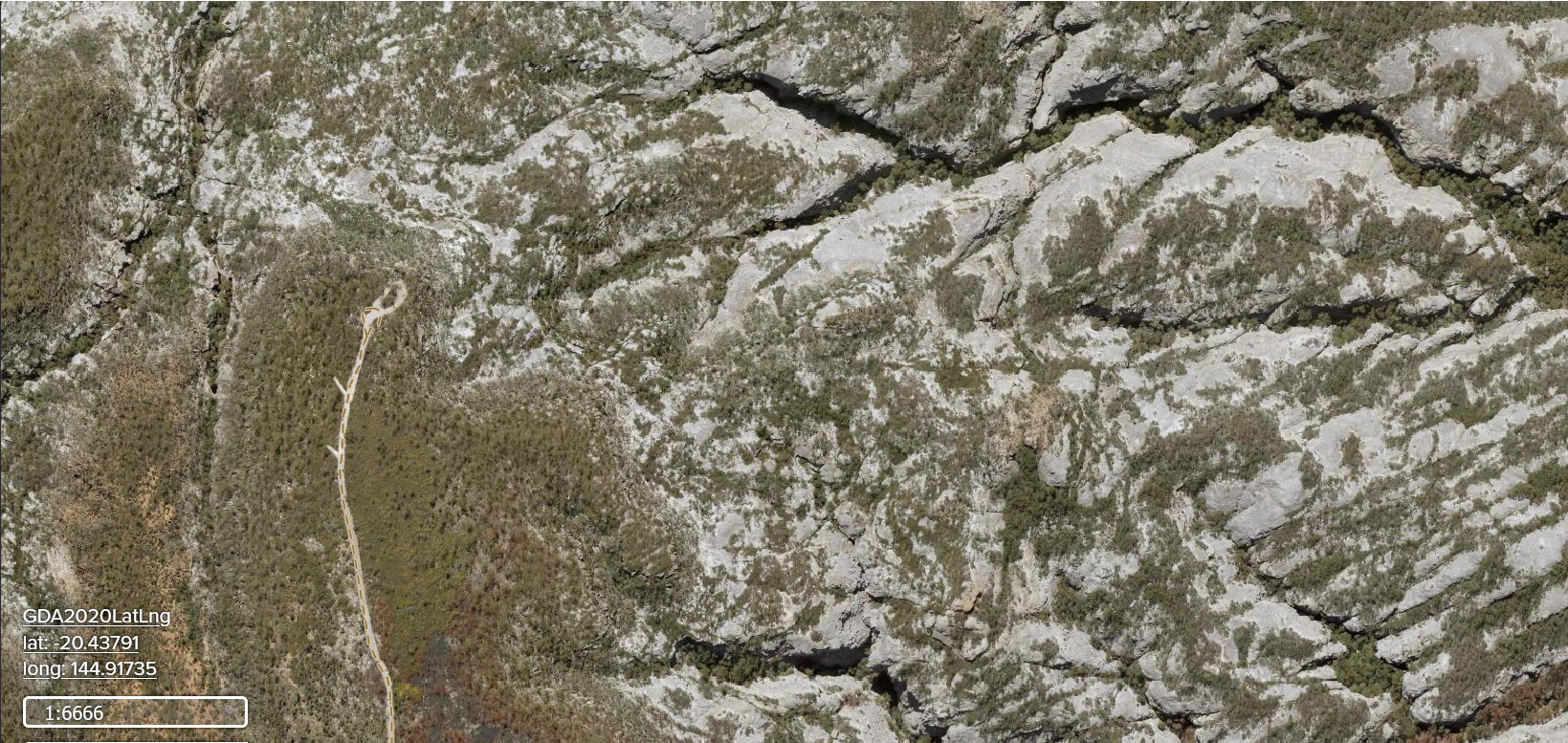
Image from https://qldglobe.information.qld.gov.au/qldglobe/public/white-mountains-national-park-0
On the day I drove (29/08/25) many spots along the way were lit up by wild flowers – beautiful and remarkably peaceful. For photos of the landscape and some critters check out https://malcolmtattersall.com.au/wp/2023/09/warang/ and https://townsvillebushwalkingclub.com/canyons-flowers-and-dinosaurs-2025/
References
