TO ALICE AND BACK
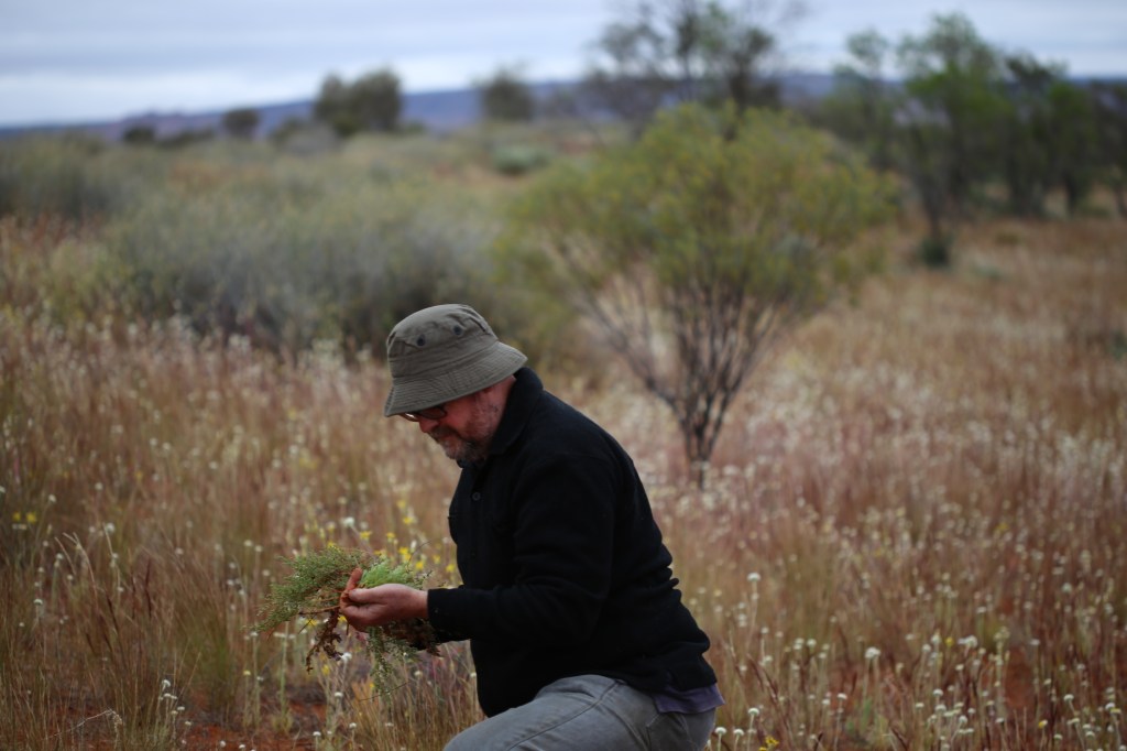
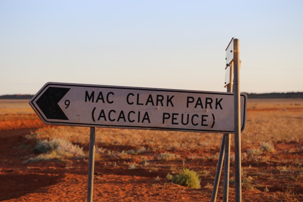
In August 2016 I travelled to Alice Springs to collect Themeda (a grass), Calandrinia and other prospective CAM succulents (e.g. Anacampseros, Bulbine, Gunniopsis, Portulaca, Zygophyllum), to visit The Mac Clarke Acacia peuce reserve, and just to see the Central Desert after rainfall when flowers are blooming, .

My host in Alice was the indomitable Peter Jobson. Senior Botanist at the Northern Territory Herbarium at Alice Springs and a JCU botanical alumnus. Unlike me, Peter is a real botanist.
Jobbo not only put up with me but put me up! He kindly took me on plant hunting trips to Standley Chasm, Owen Springs, The Mac Clarke Acacia Peuce Reserve, Lambert’s Corner, Chamber’s Pillar and other places.
Despite all my years of studying desert plants, this was my first trip to Central Australia! I saw plants in situ rather than growing in pots in a glasshouse. We did a lot of kilometers and took quite a few photos (I seem to have misplaced a few). Below, I divide the tour into topics and show relevant photos. The first slide-show is a bit of a hodge-podge…

Don’t know what this is 
Alice Springs – nestled within the MacDonnell Range. 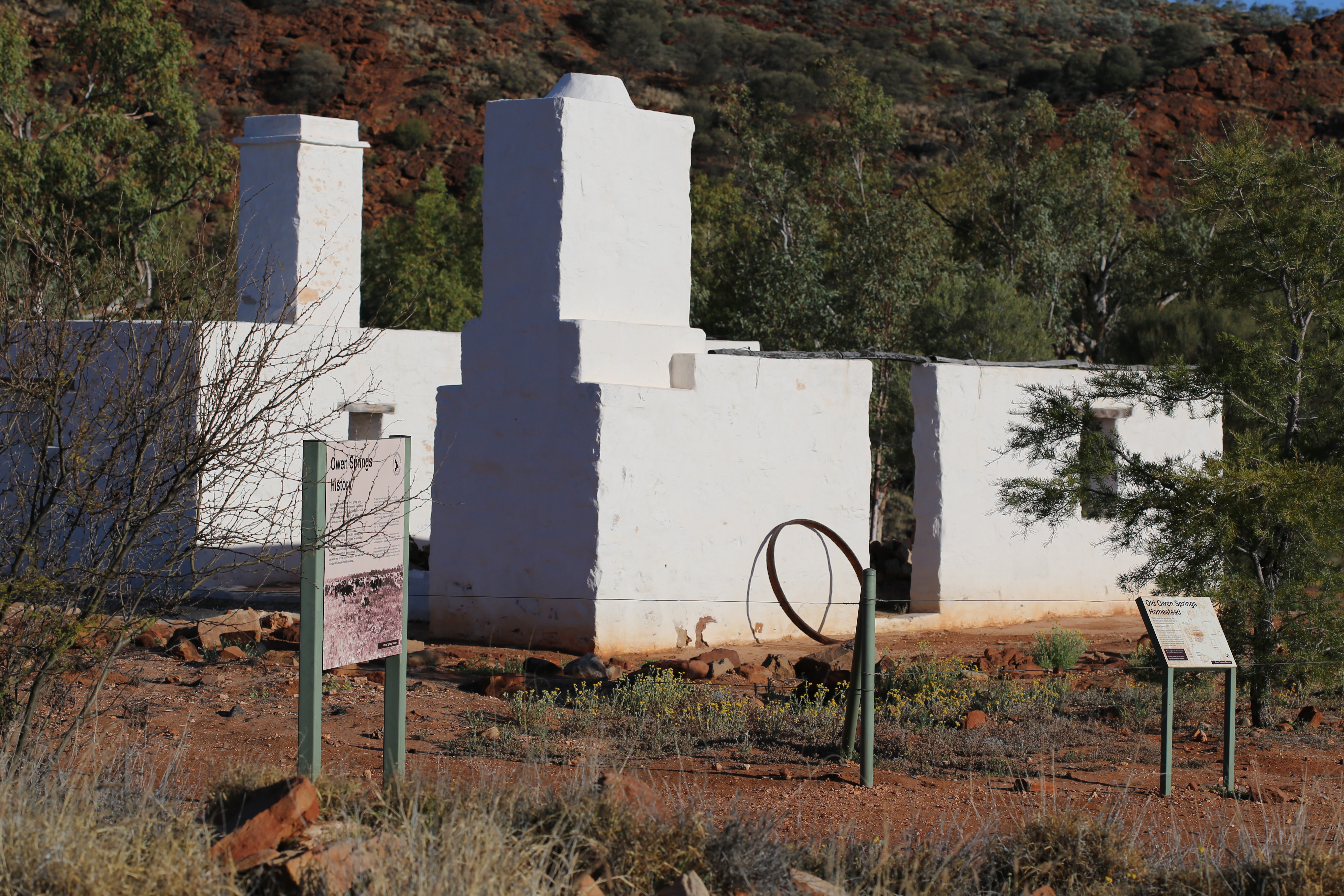
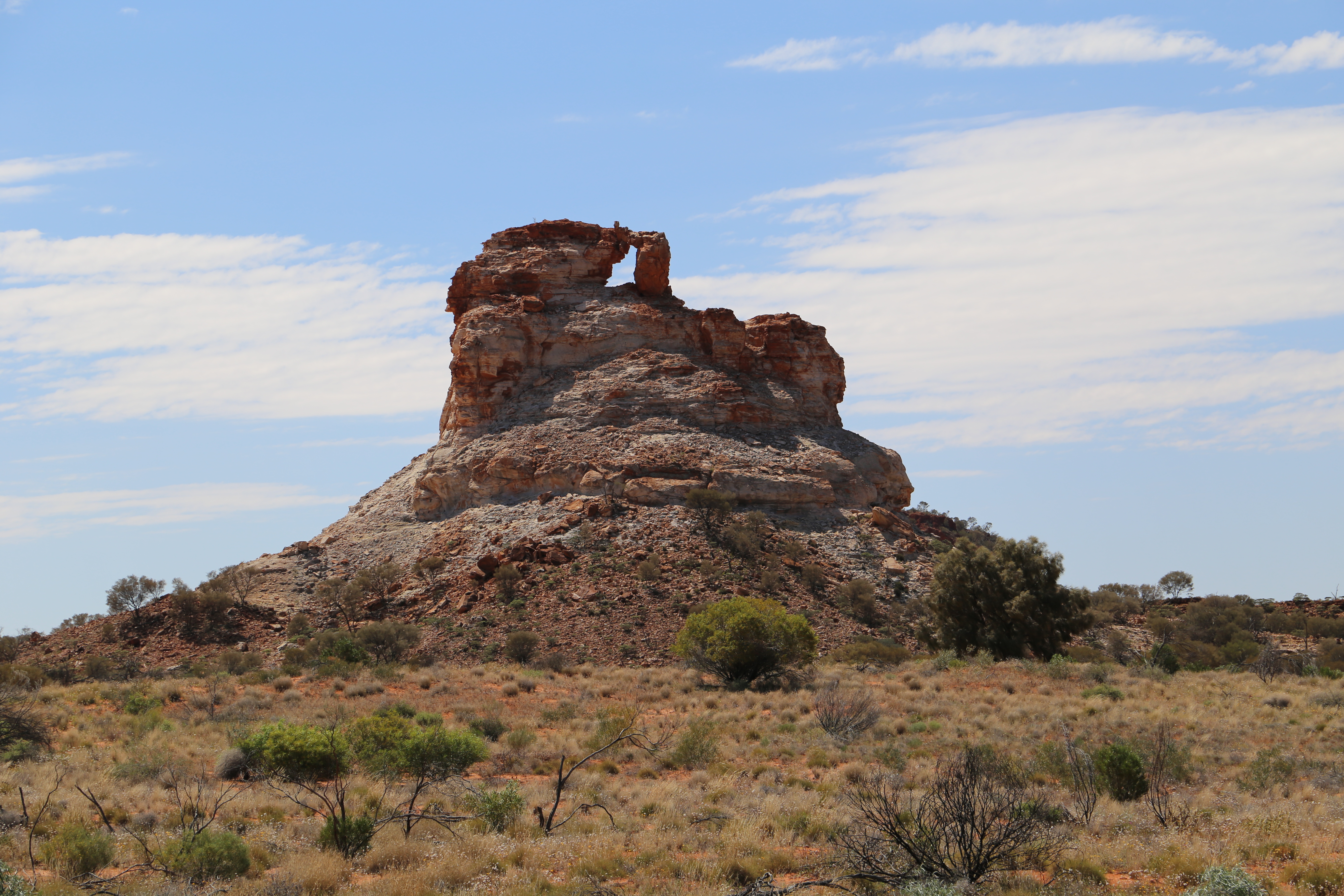
The Old Owen Springs Homestead ruins is the site of the first station homestead built in Central Australia 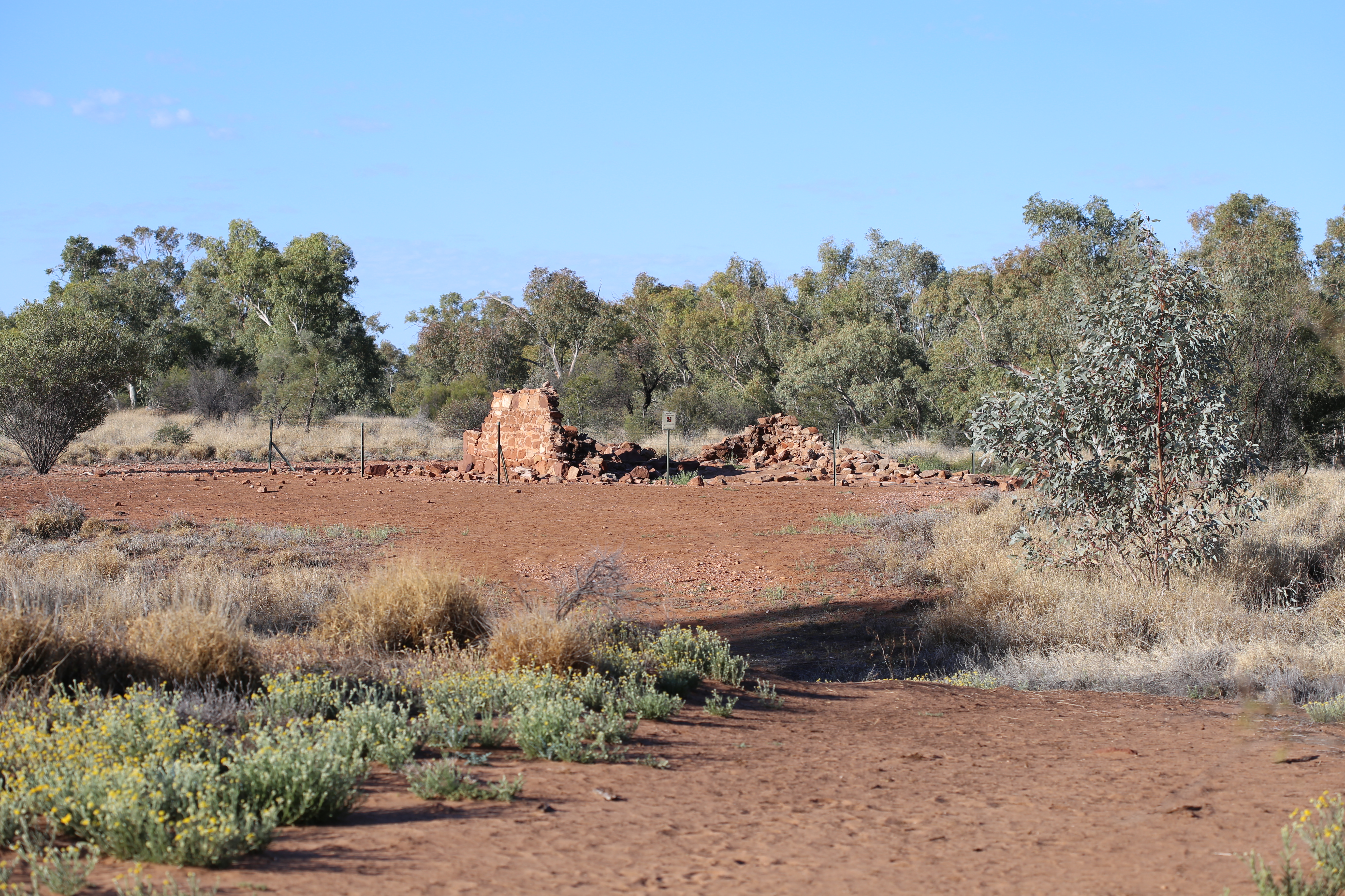


Desert oaks (Allocasuarina decaisneana). Some similarity in form to Acasia peuce. 
Memory of the old Ghan railway – Rodinga railway station siding that stood beside 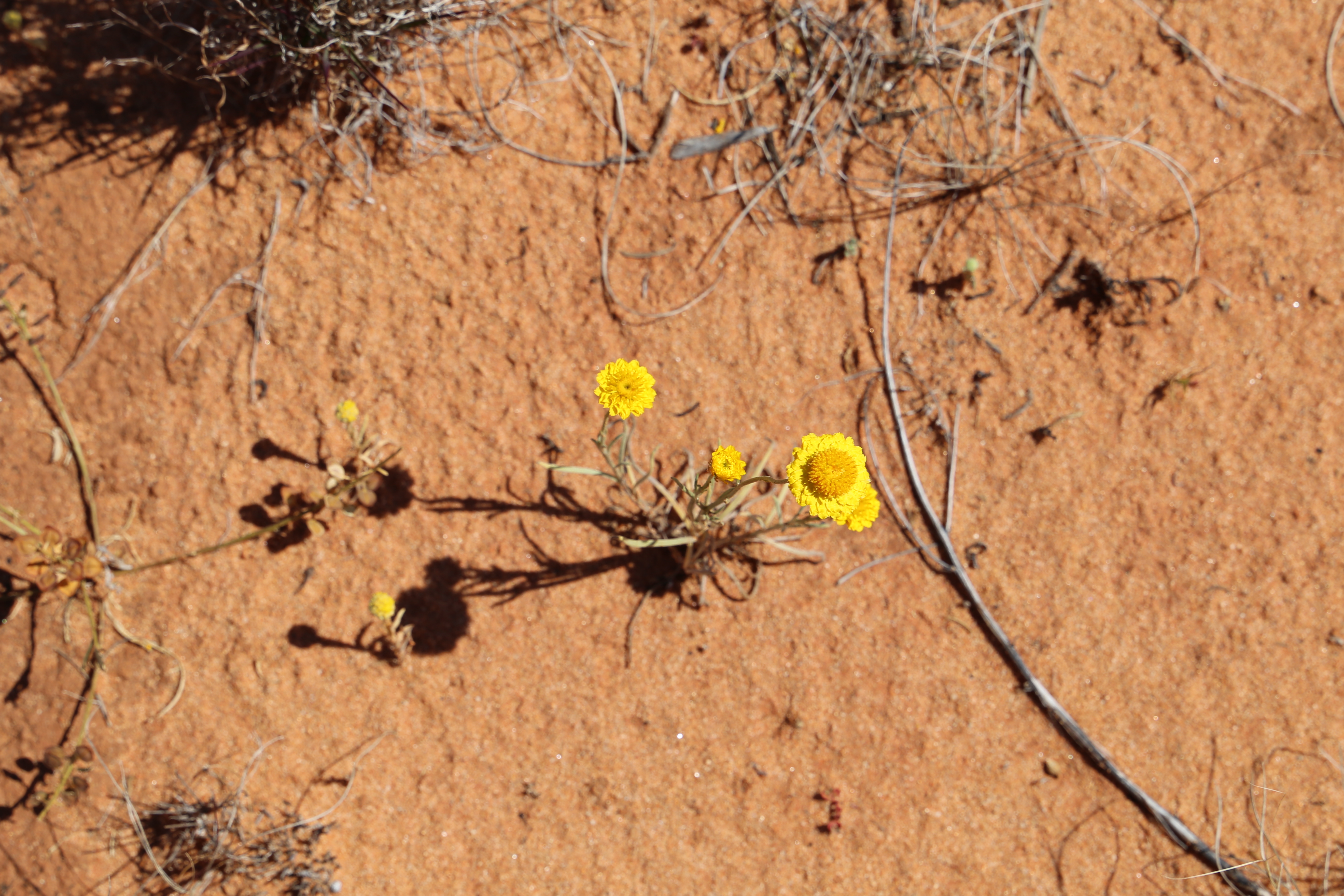
Leuchochrysum stipitatum (wooly sunray) – an annual
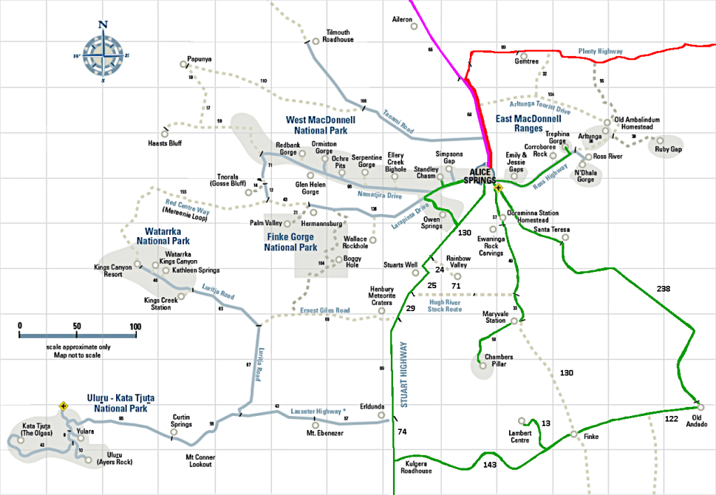
From Townsville to Alice: I drove via the Flinders Highway to Hughenden, the Kennedy Development Road through Winton and Boulia, the Donaghue Highway and across the Plenty Highway (overnighting at Winton and Boulia).
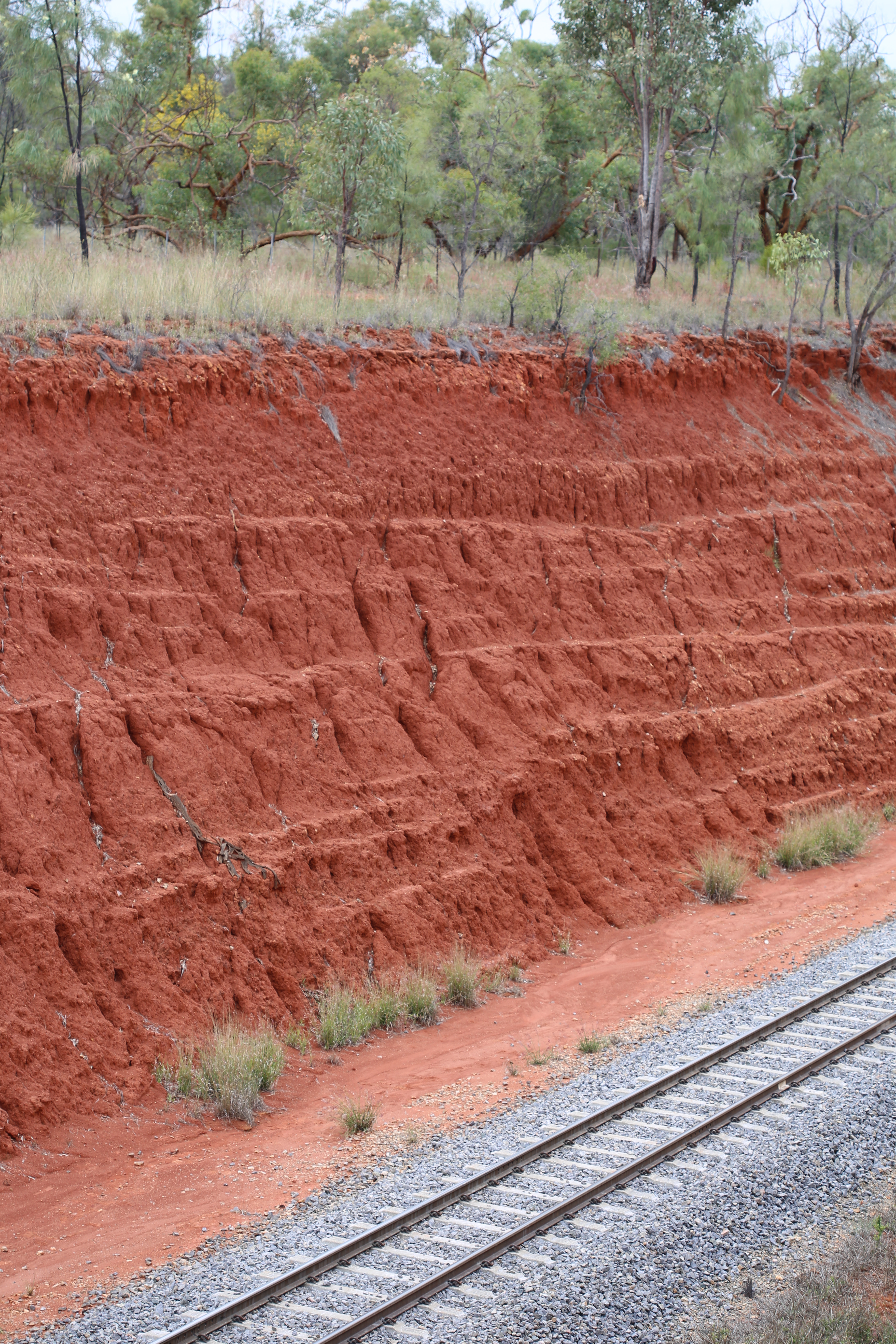
Soil horizon at White Mountains National Park 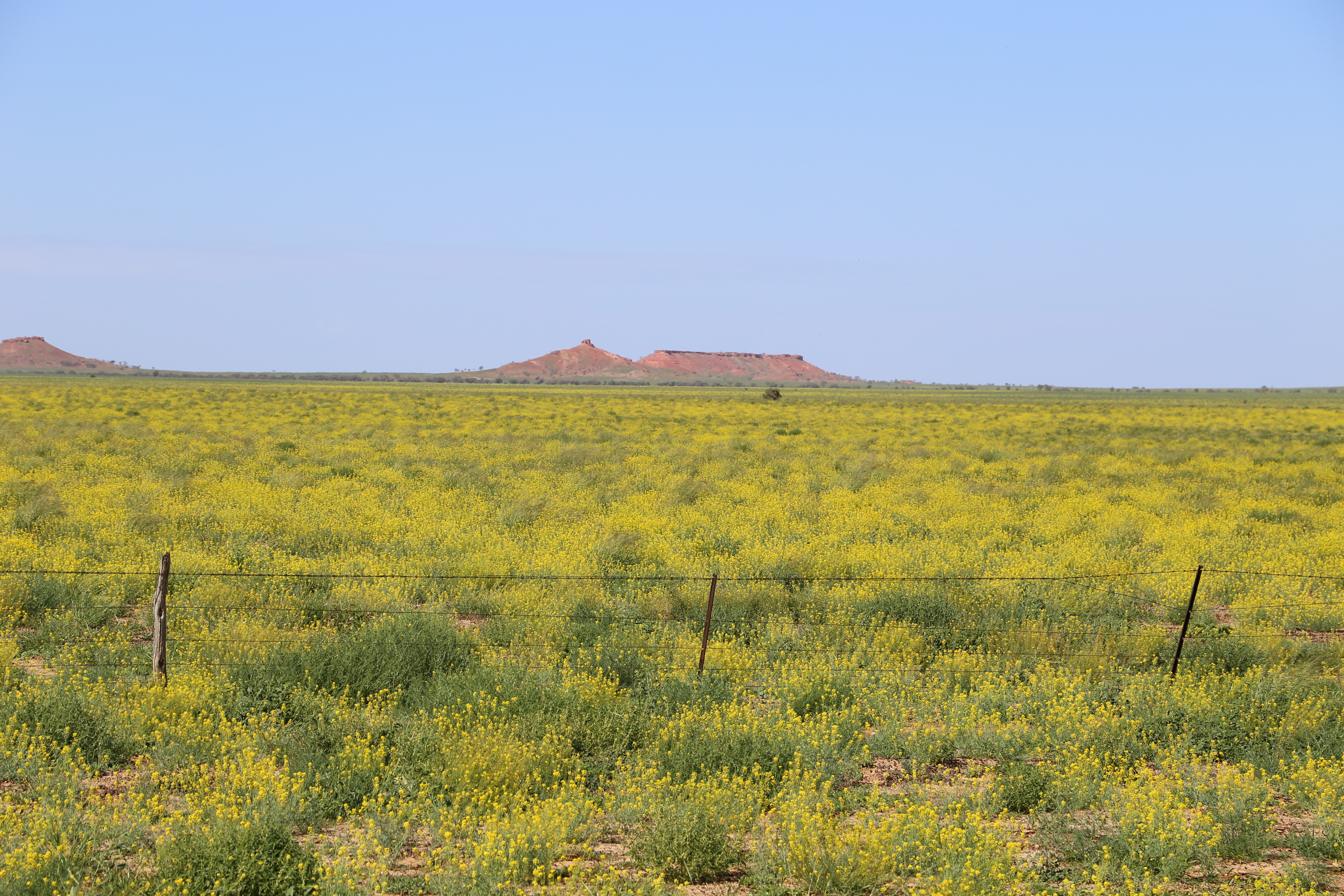
Bulbina bulbosa – a plant with CAM – on the Mitchell grasslands near Hughenden 
Bulbina bulbosa – Bulbina is a genus with taxa in Africa and in Australia 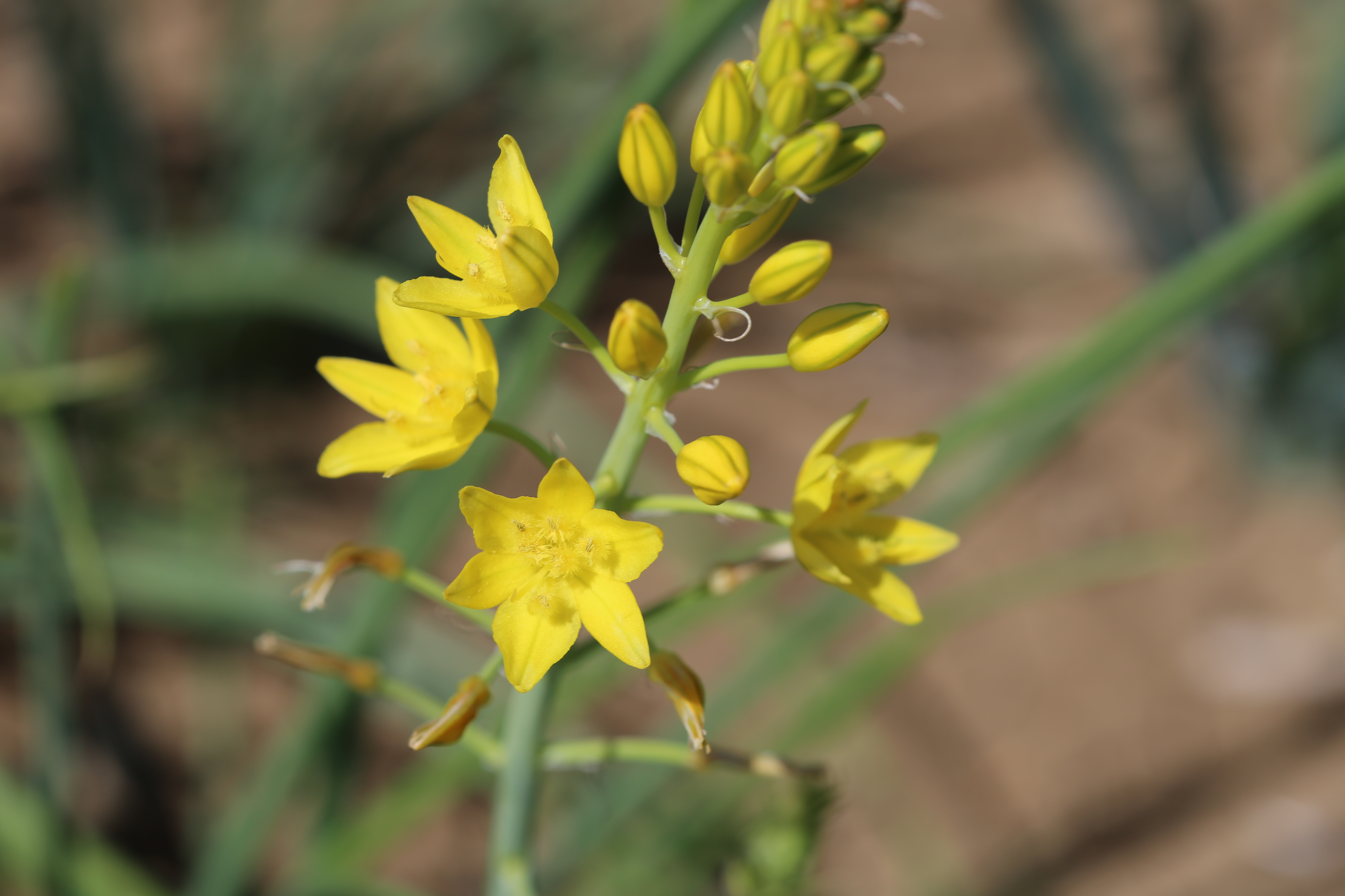
Bulbina bulbosa 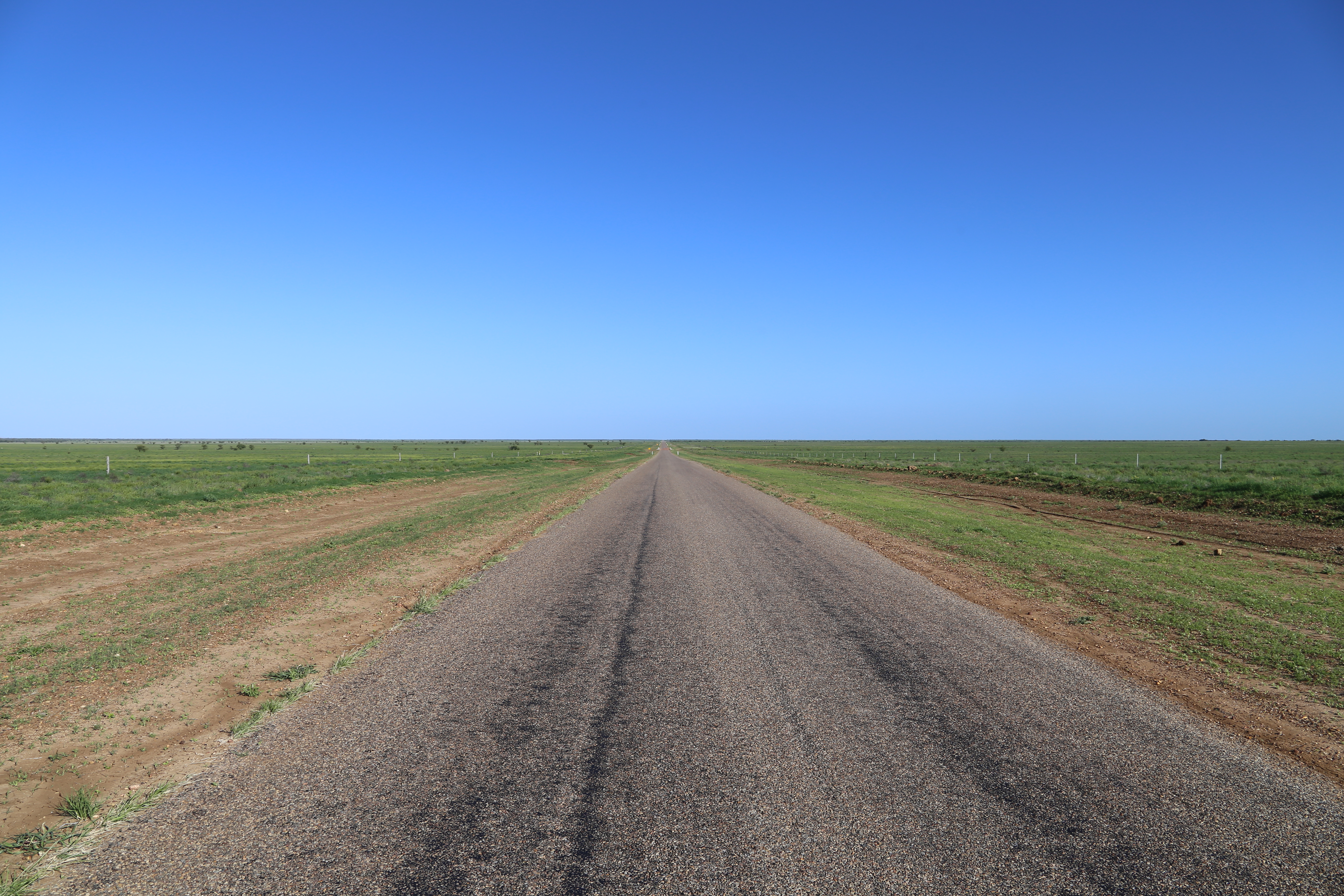
The Kennedy Developmental Road on the way to Middleton 
Neobassia?? (fam. Chenopodiaceae) 
Portulaca (oleracea?) and a Sclerolaena (??) 
Don’t know what this is. 
Spinifex and Acacia woodland 
View from Cawnpore Hills lookout. Ferricrete-capped mesa with A. shirleyi. Spinifex (Triodia) on the slopes, all underlain with sediments from an ancient inland sea 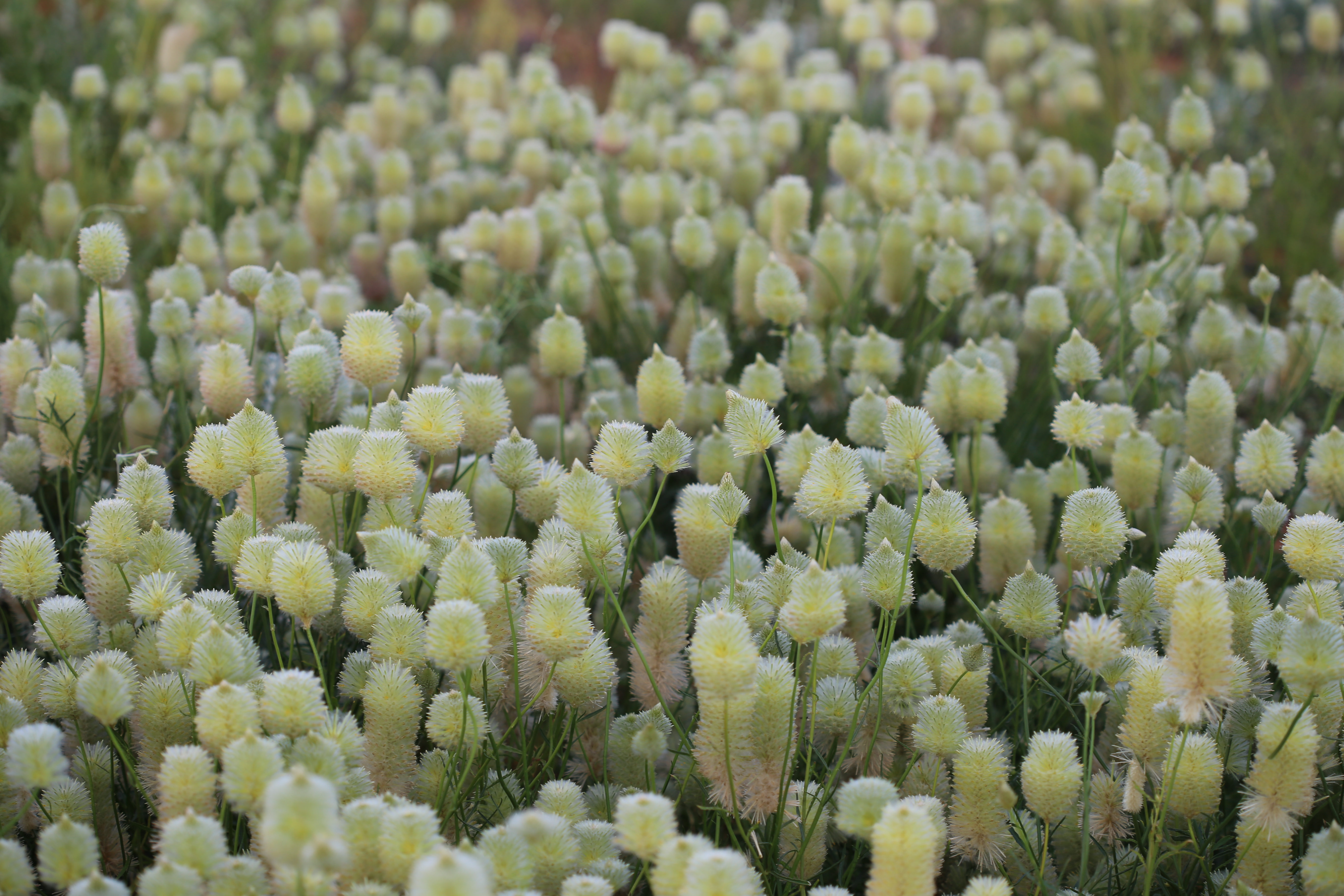
Ptilotus (macrocephalus?) 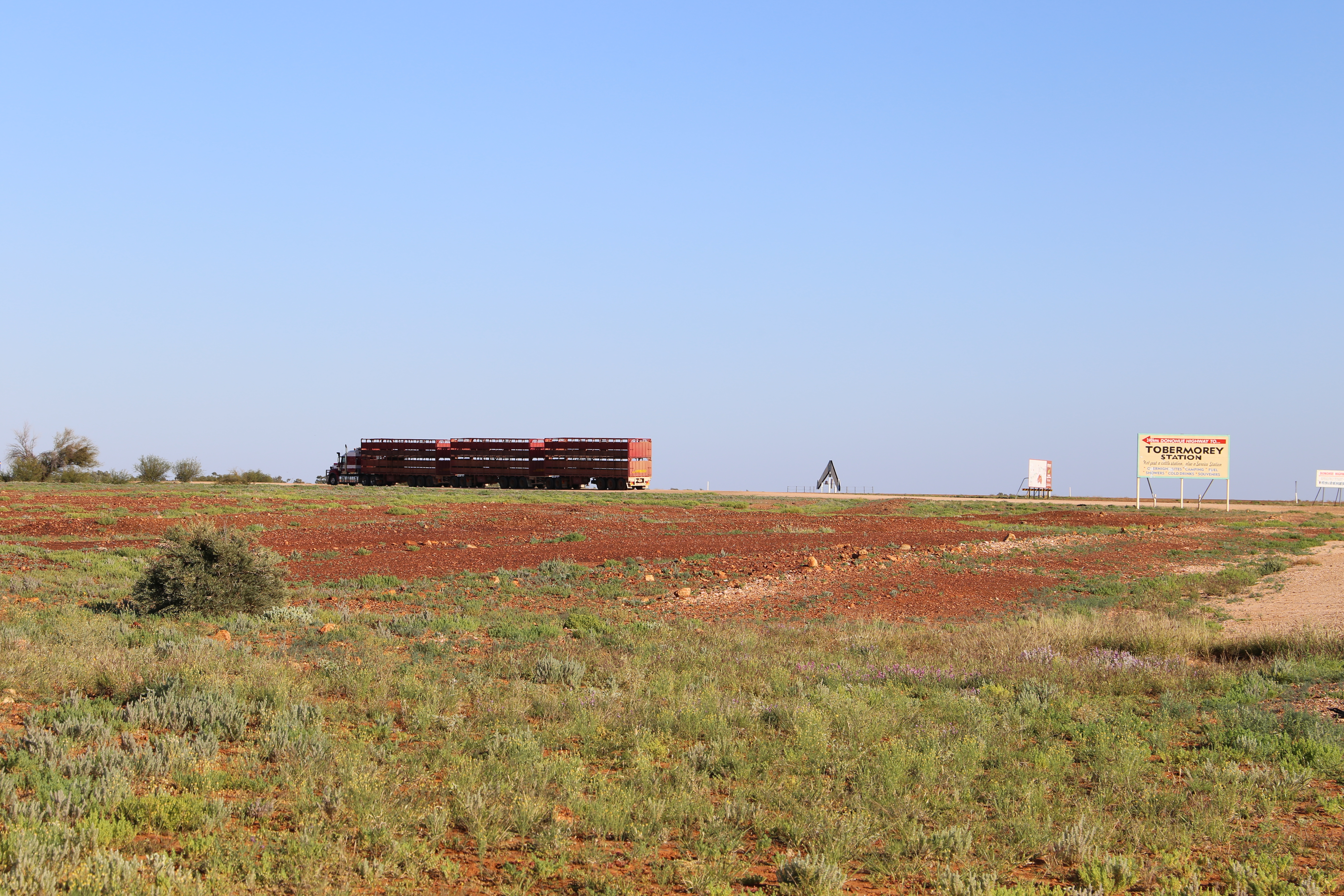
The start of the Donahue Highway just past Boulia 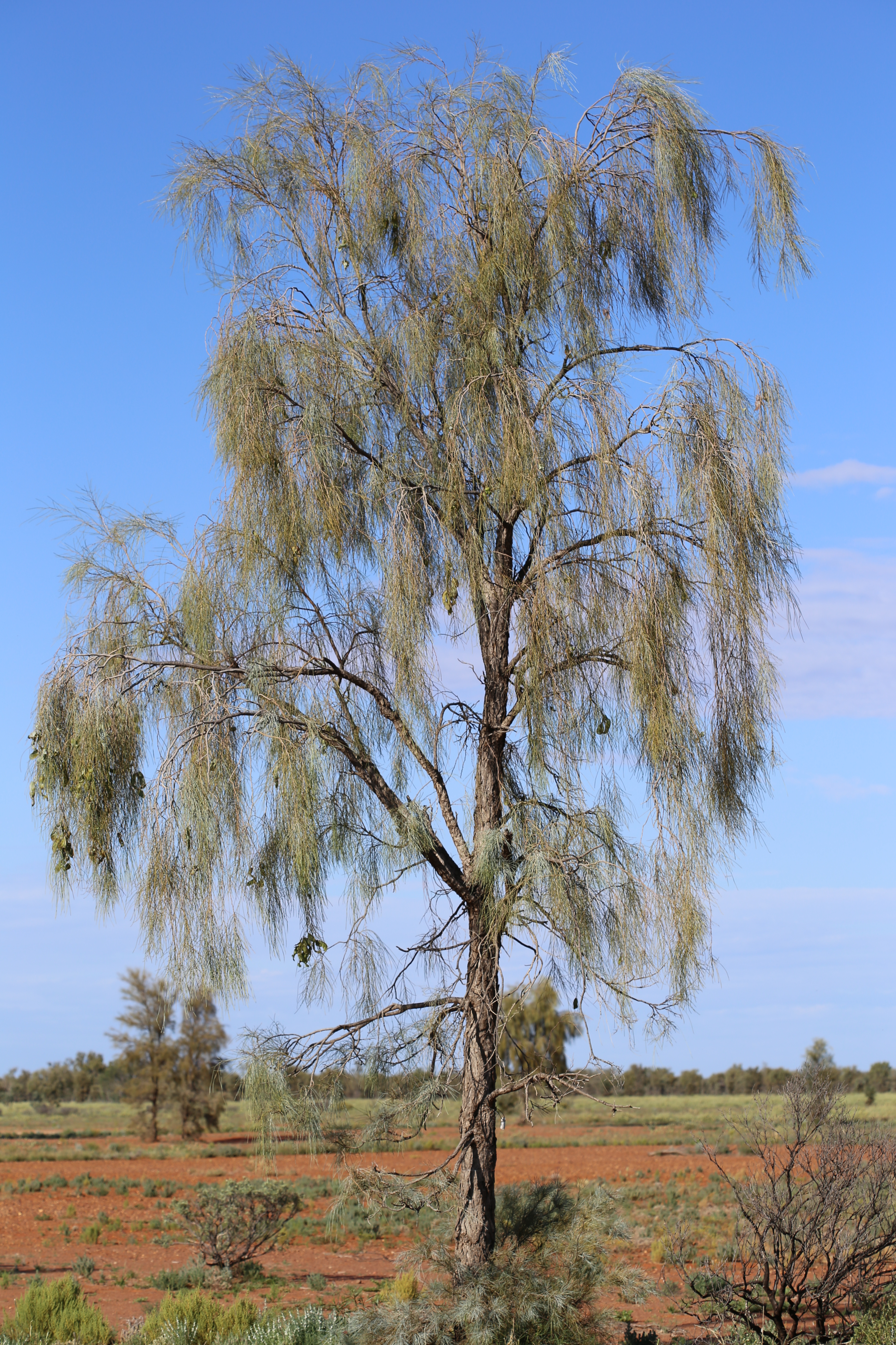
A mature Acacia peuce (waddy tree). Coorabulka Road, Boulia. 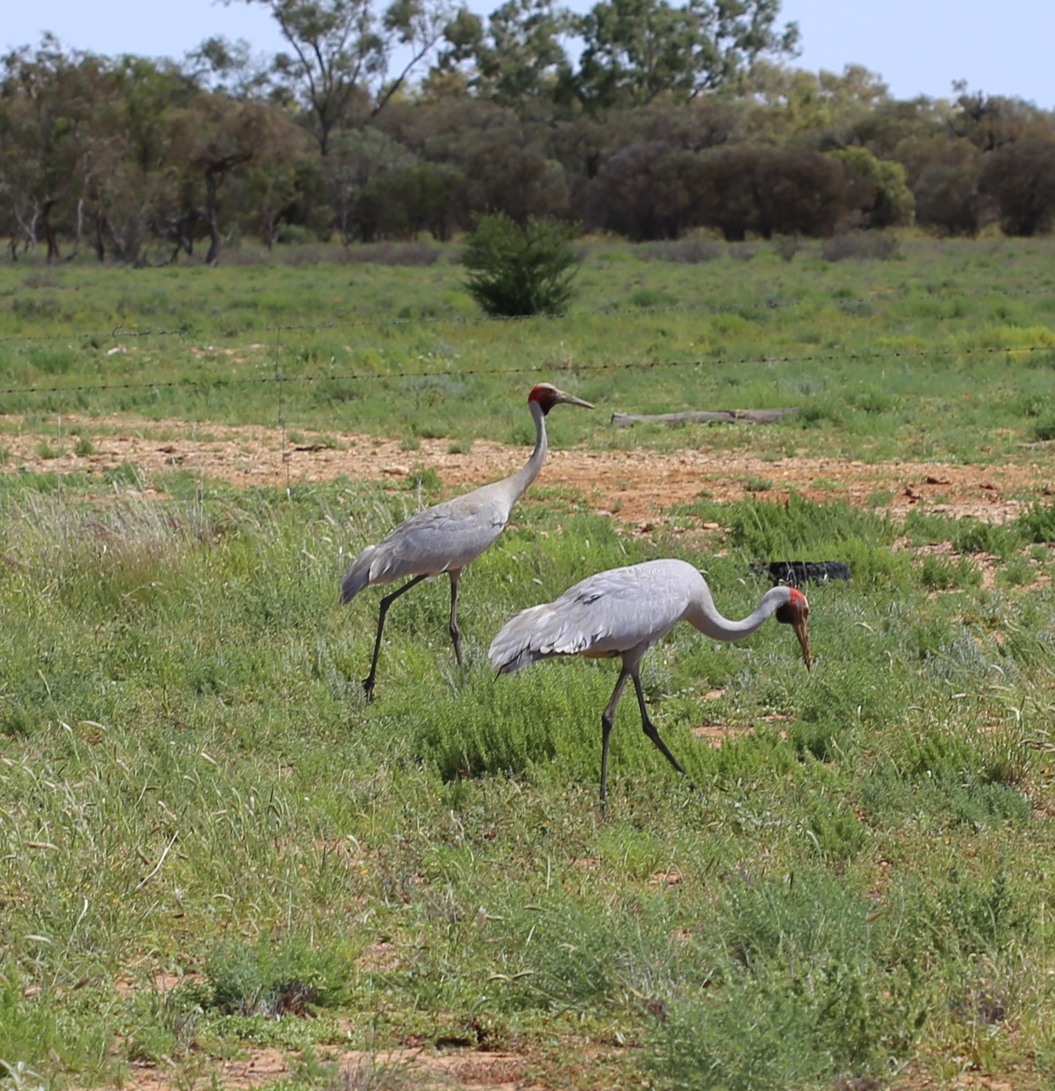
A pair of brolgas, Boulia. 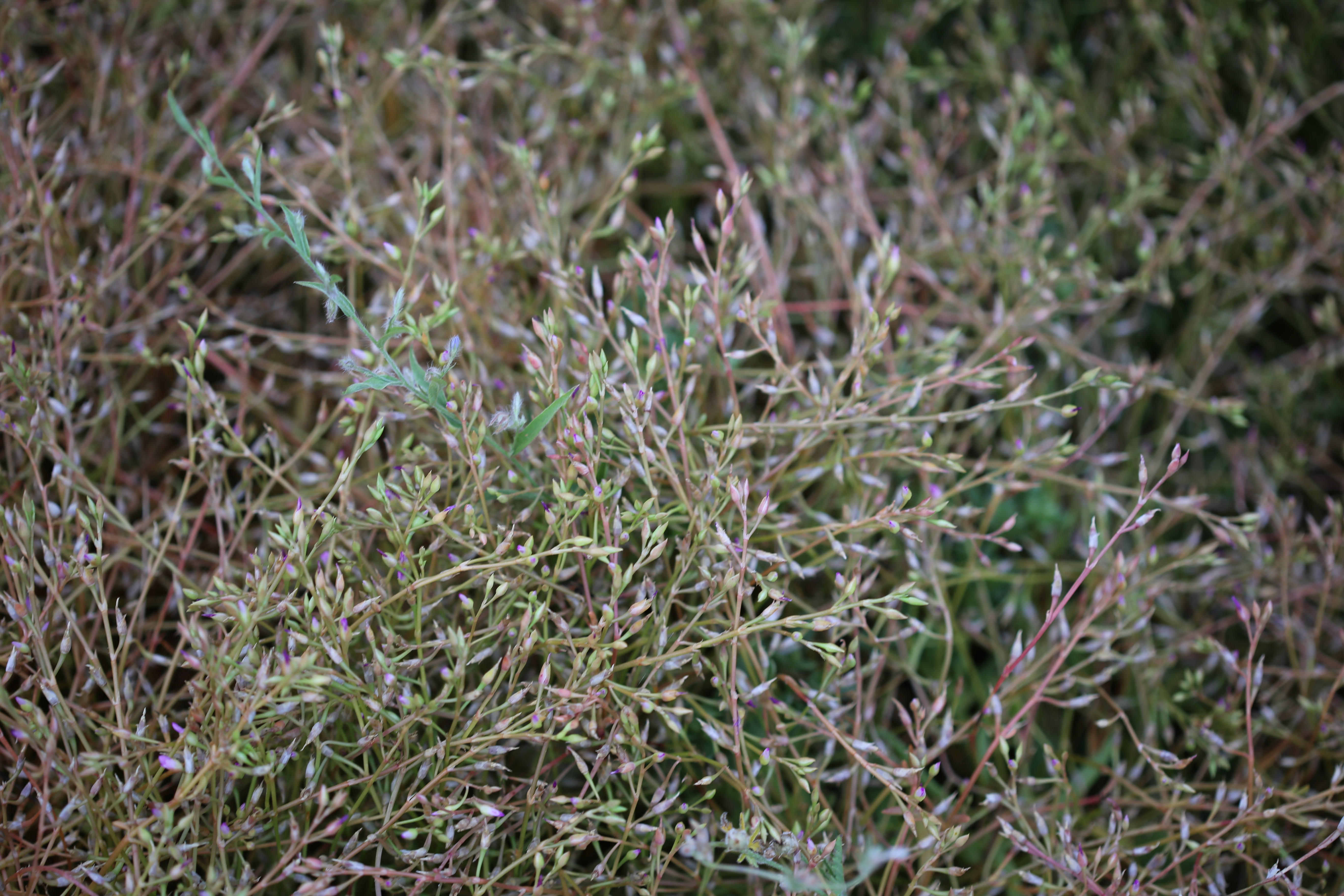
Calandrinia ptychosperma, growing beneath the Acacia peuce information sign on Coorabulka Road. 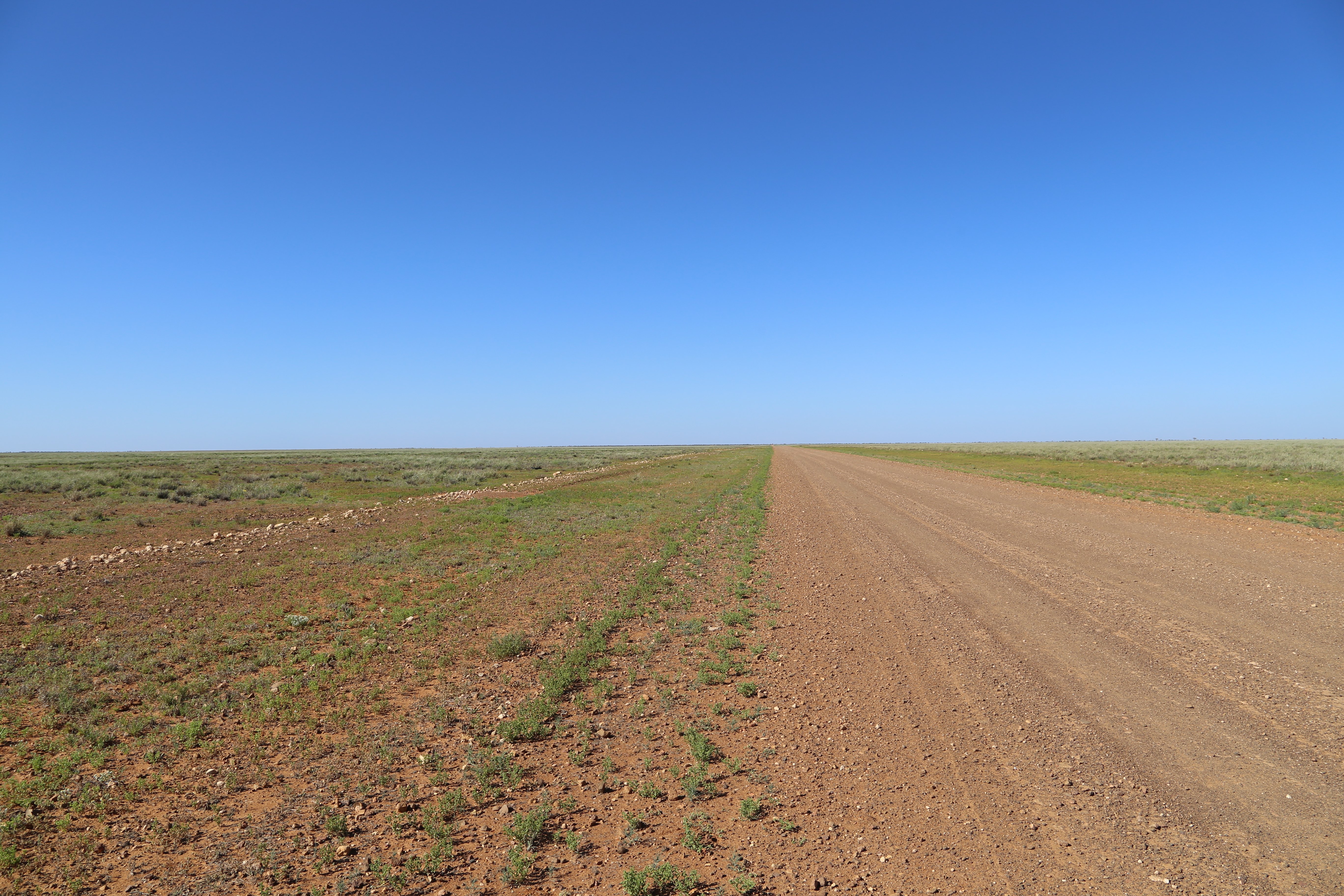
The Donaghue Highway
From Alice to Townsville: I was chased by rain on the return trip. Rather than chance a wet muddy Plenty Highway, I drove north along the Stuart Highway to Three Ways and drove to Townsville via Camooweal, Mt. Isa, Boulia and Hughenden, sleeping at Tablelands, Boulia and Hughenden.
Chamber’s Pillar: The tops of these pillars we see now were probably the lowest points of the landscape during the Cretaceous!
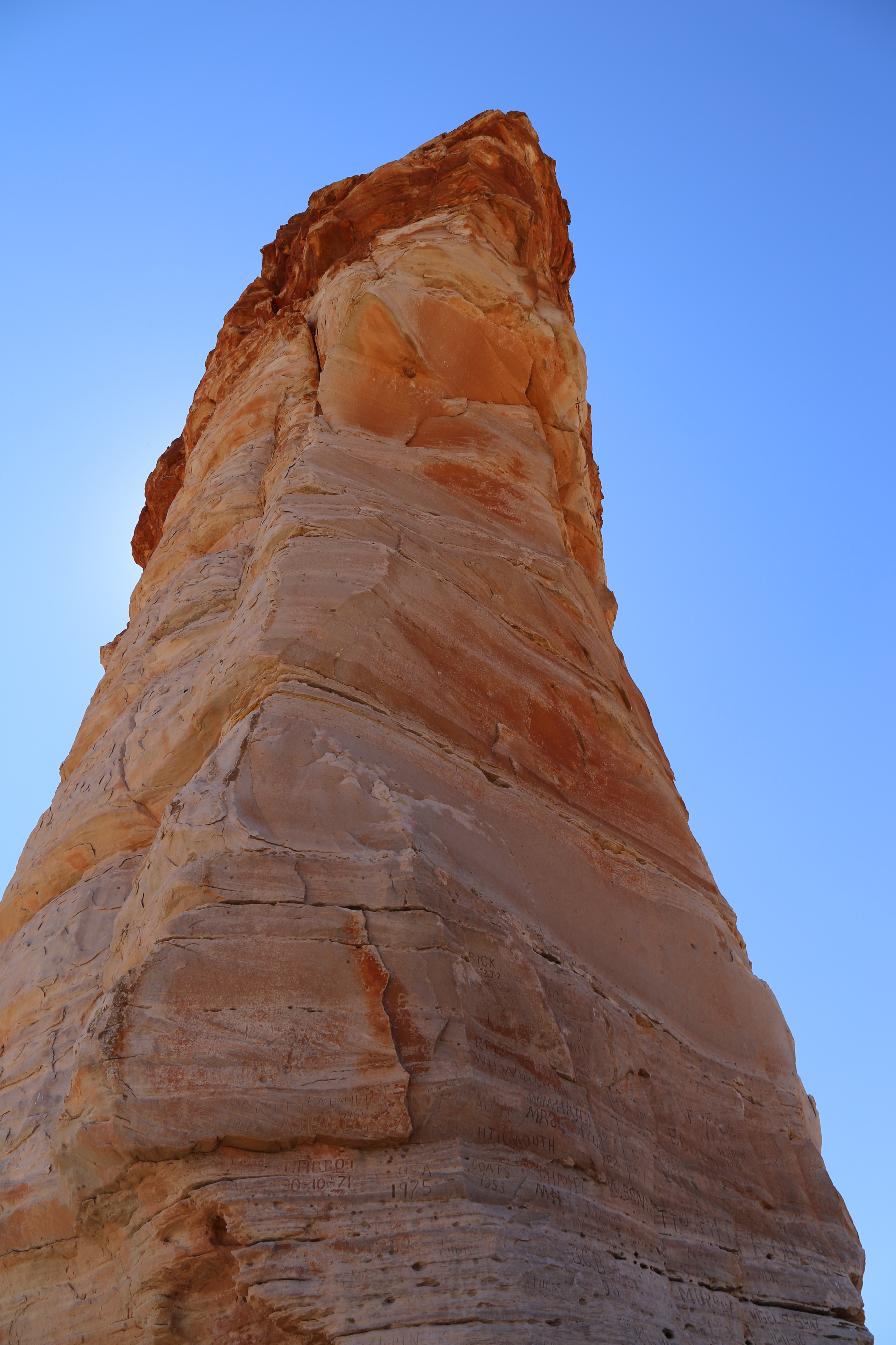
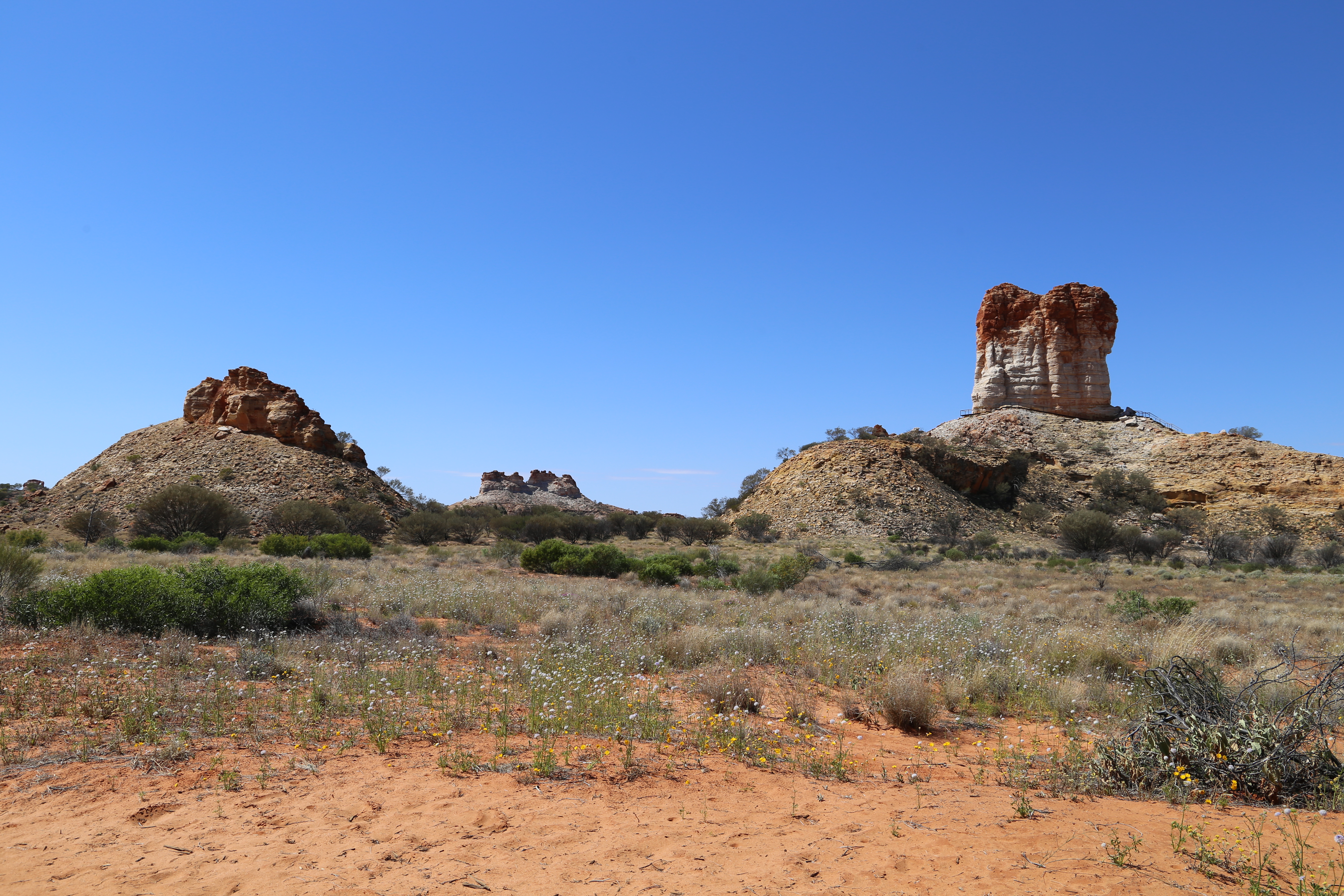
By the Cretaceous, ca 80 mya, much of Central Australia was an inland sea (Eromanga Sea) that extended through the Gulf of Carpentaria. Sands, silts and clays eroded from old Carboniferous landscapes were deposited from the sea and rivers that fed into it.

The Cretaceous climate in Central Australia was seasonally wet and dry. When it was wet, iron in the underlying rocks dissolved in groundwater that percolated upwards during the dry seasons. The water evaporated and the precipitated iron bound with the surface material to form a tough difficult-to-erode surface layer, ferricrete. The sedimentary layer below is relatively soft.

Around 20 mya, during the Miocene, when Australia’s climate dried a bit, rates of erosion increased appreciably, particularly of the softer parts of the landscape. As a consequence, much of the current land surface in Central Australia is 100 m or more below the ancient plain!! Where the ferricrete layer reduced the rate of erosion of the underlying sediments structures such as Chambers Pillar and many mesas have formed. Their demise is only a matter of time…


The Mac Clarke Acacia Peuce Conservation Reserve: Peter and I travelled the 300 km to Mac Clarke via Santa Teresa and thence the Old Andado track, in order to see the smallest of the three known populations of Acacia peuce (waddy tree). Listed as vulnerable under Australia’s Environment Protection and Biodiversity Conservation Act, A. peuce which can attain 15 – 18 m, is Australia’s tallest desert tree. It’s wood, a beautiful intense brown, is the second most dense of any Australian tree (1,100 – 1,300 kg m-3).
The three known populations of A. peuce lie on the outskirts of the Simpson Desert. The two eastern populations are near Mt. Lewis, Birdsville, and Coorabulka Road, Boulia. At Mac Clarke, the only population on the western side of the Simpson is surrounded by the desert and is a mere 1,000 plants. The mature trees are subject to fire, lightning strikes and a drying climate. The reserve protects seedlings from grazing by cattle and rabbits.
Almost there 
The Mac Clarke (Acacia peuce) Conservation Reserve. Modified from map by Parks & Wildlife Commission of the Northern Territory. 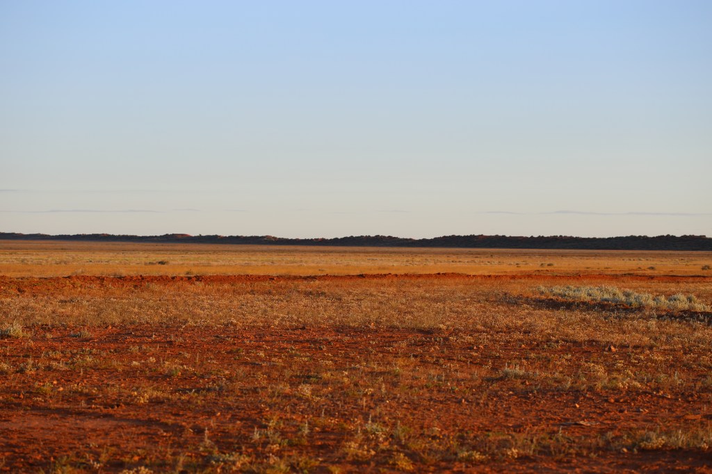
Not a great place for a forest. 
Acacia peuce at sunset as we arrived. 
The waddy tree (waddi tree, Birdsville wattle) 
Not many elderly trees in this bunch. 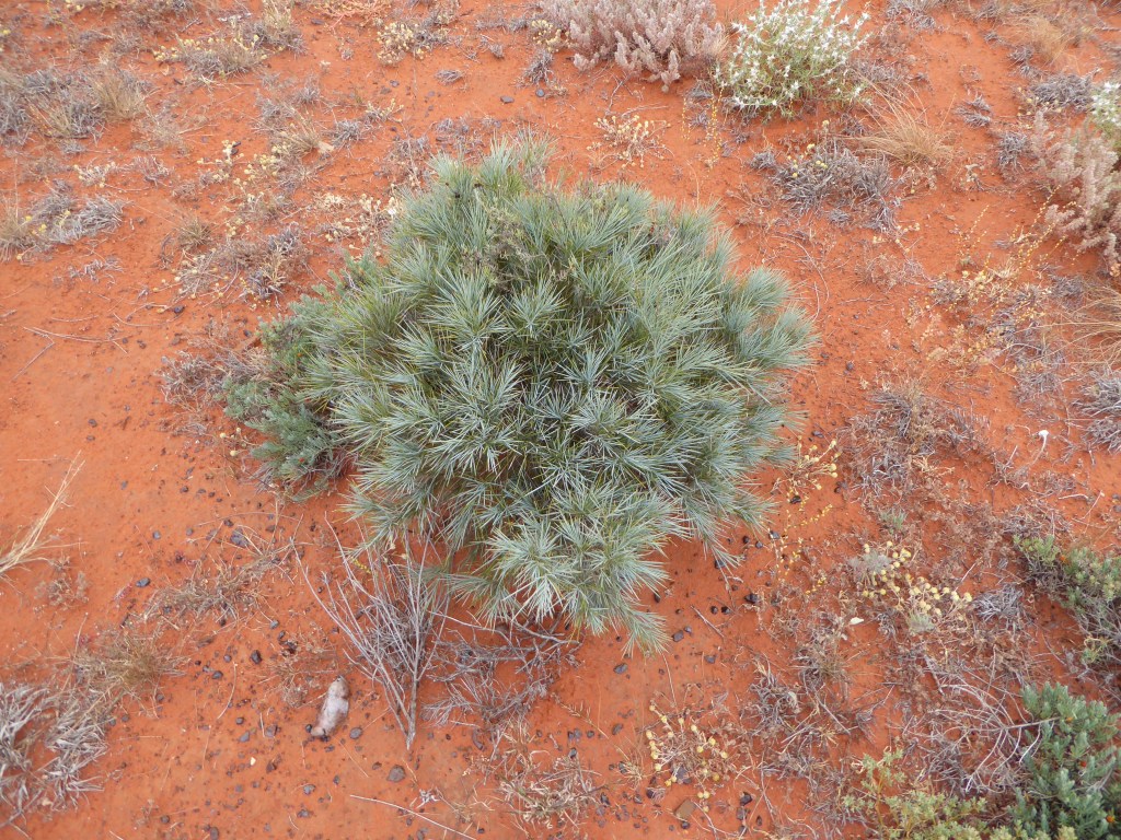
A prickly young ‘seedling’.
An extensive source of information about A. peuce can be found in Jon Luly’s document entitled A compendium of current wisdom regarding the waddi tree.
We left Mac Clarke chased by rain. The infra-red light reflected from the clouds accentuated the colours of the desert reds, oranges and greens.
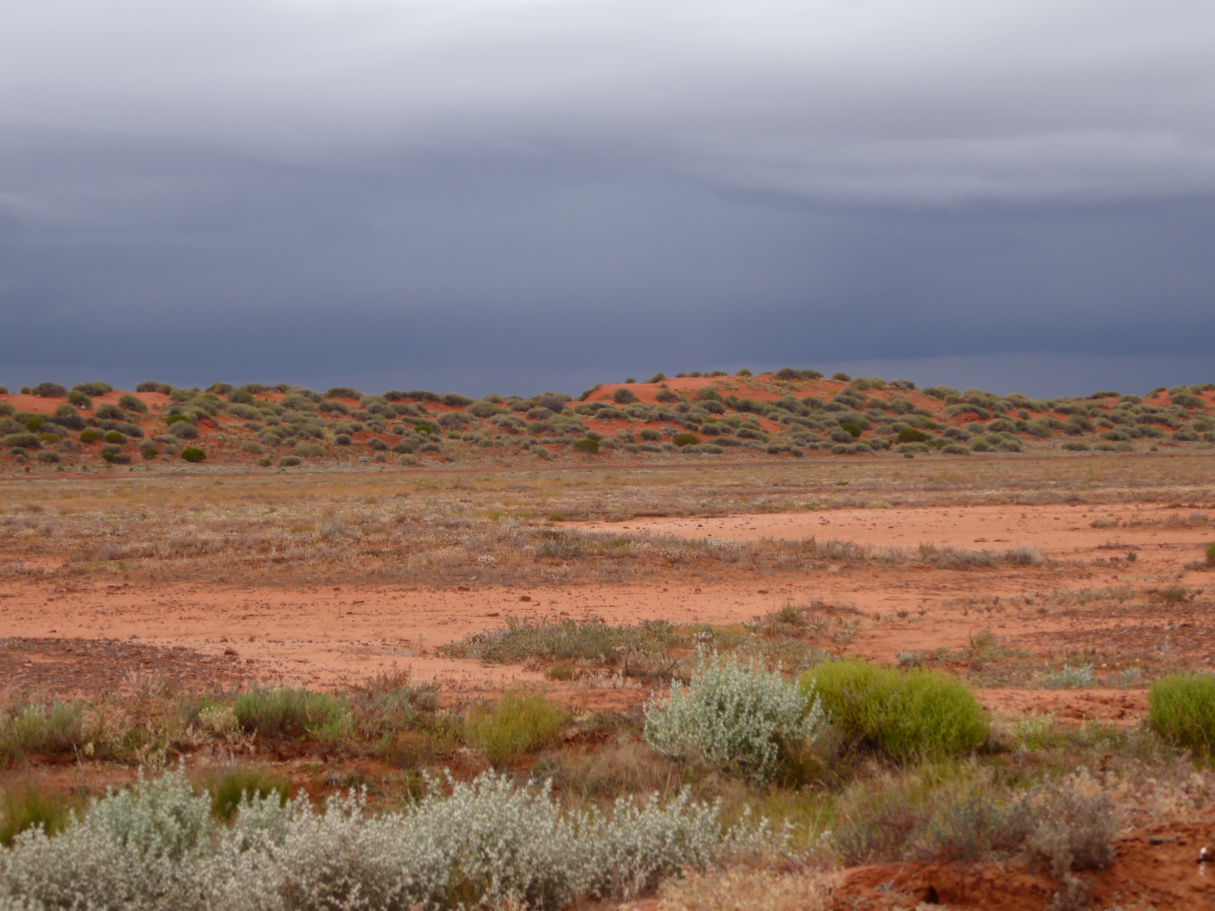
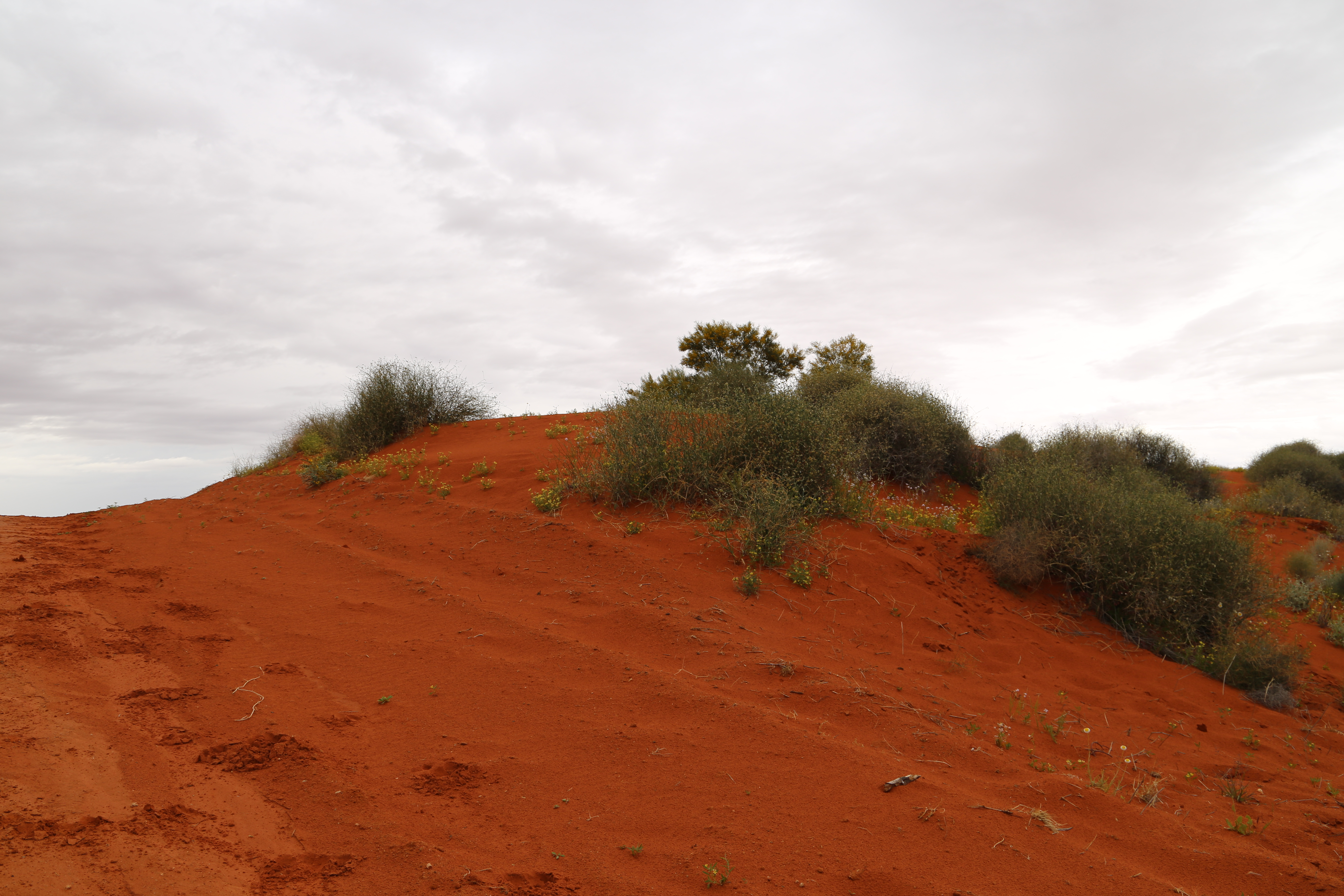
Rain-laden clouds over a Simpson desert dune. 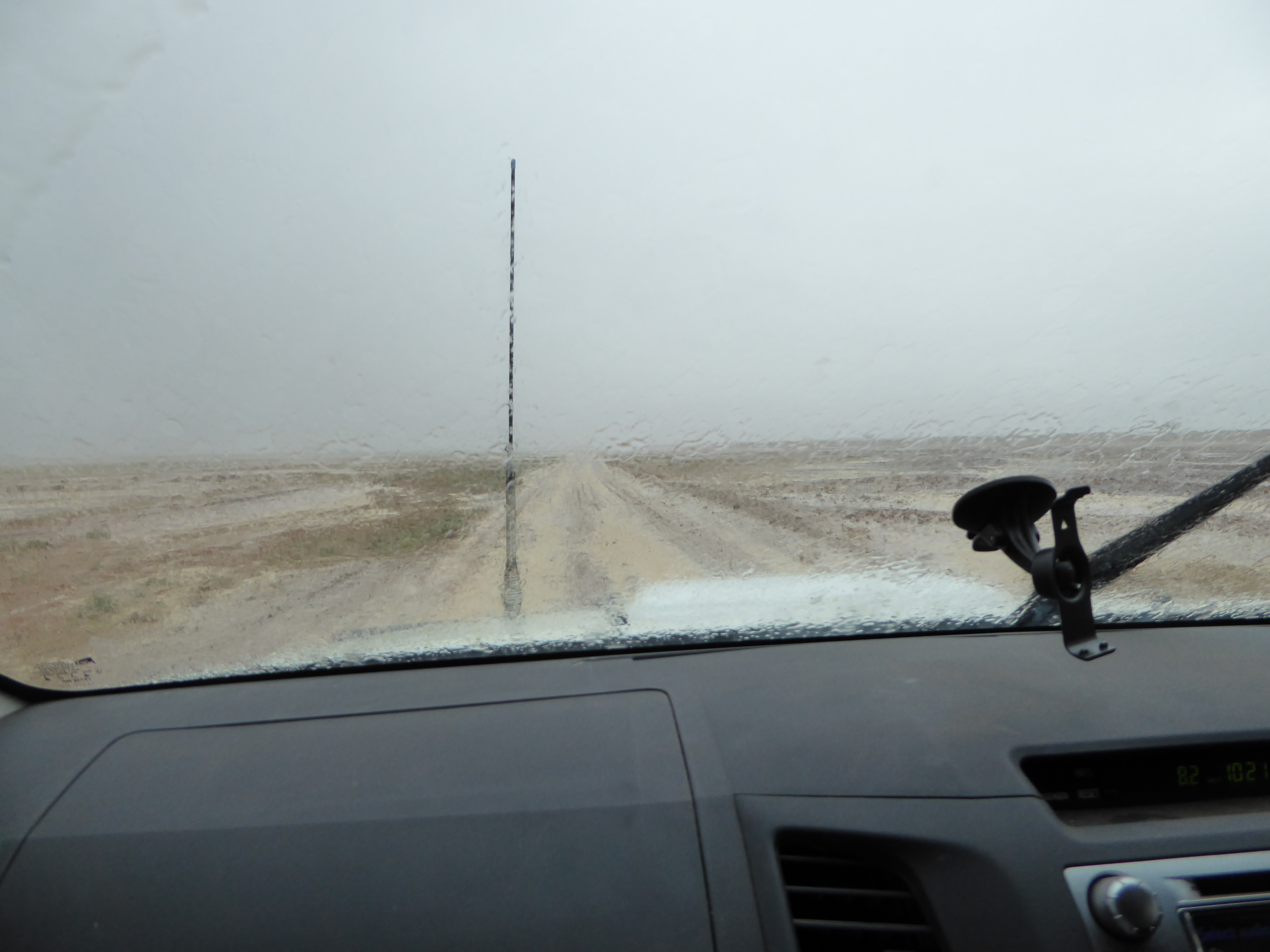
…and the heavens closed in 
Water, the elixir of desert life! 
…and then it was gone and Jobbo’s driving skills came to the fore. 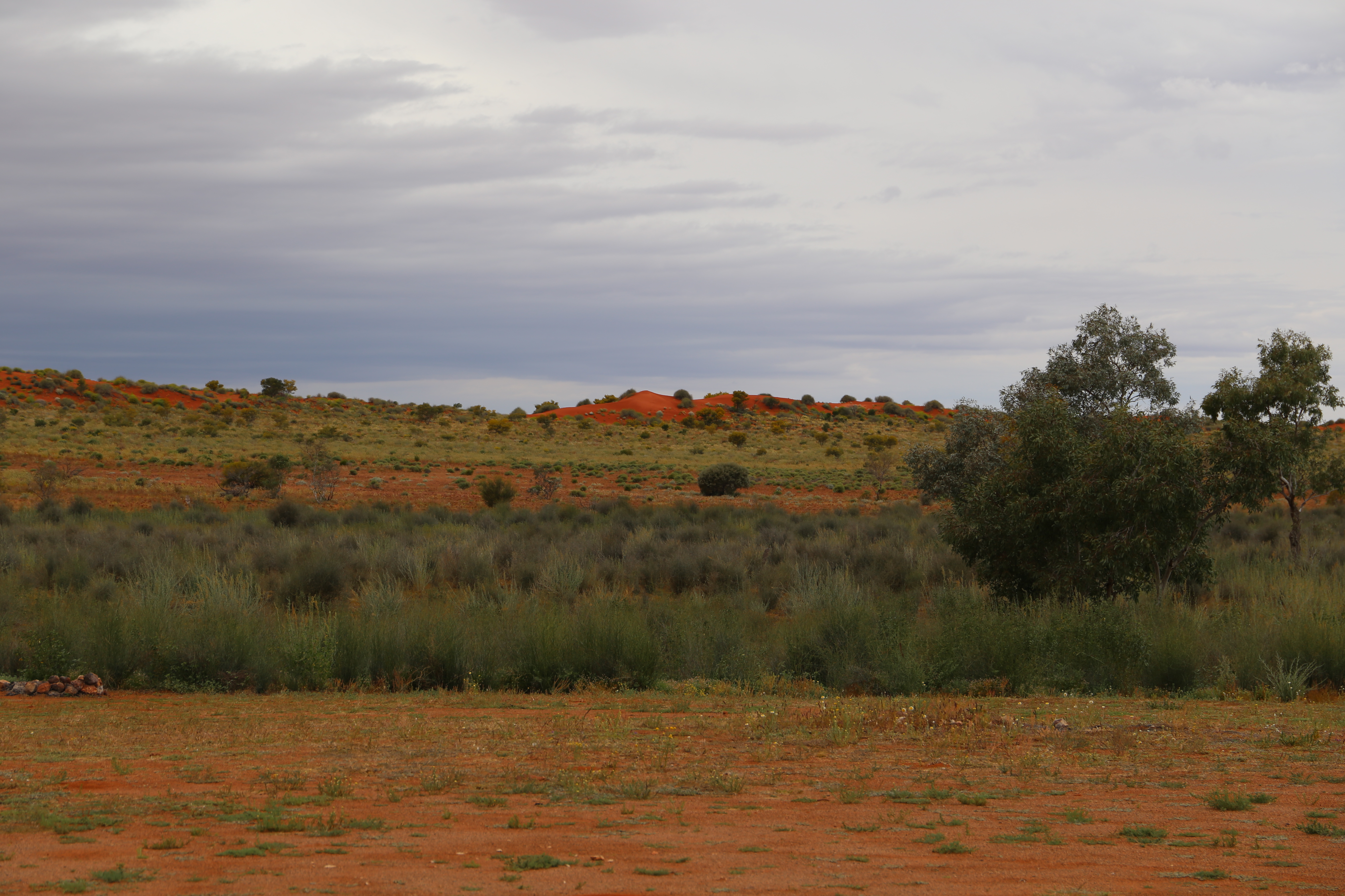
The infra-red made the oranges more orange and the greens more green 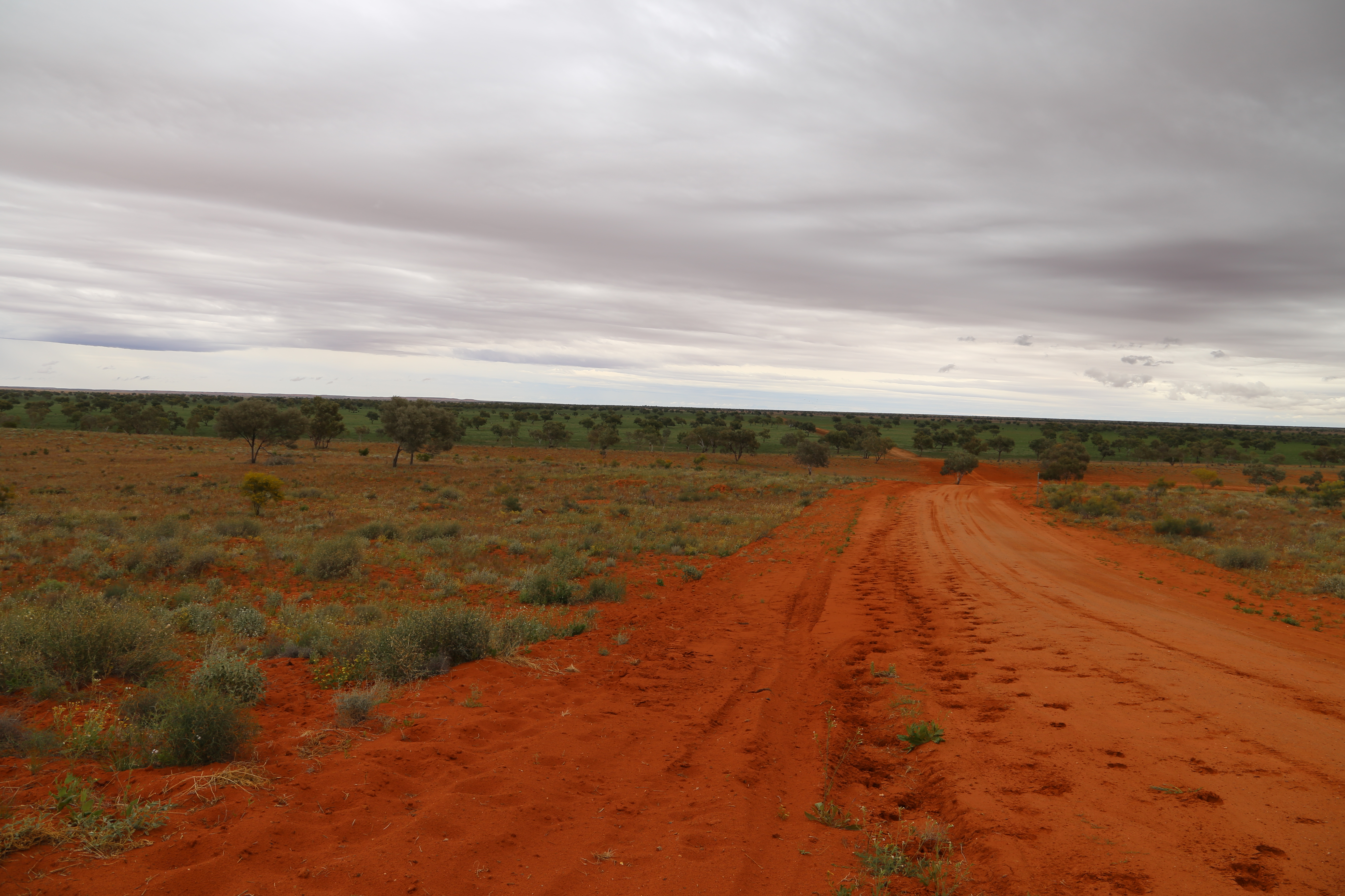
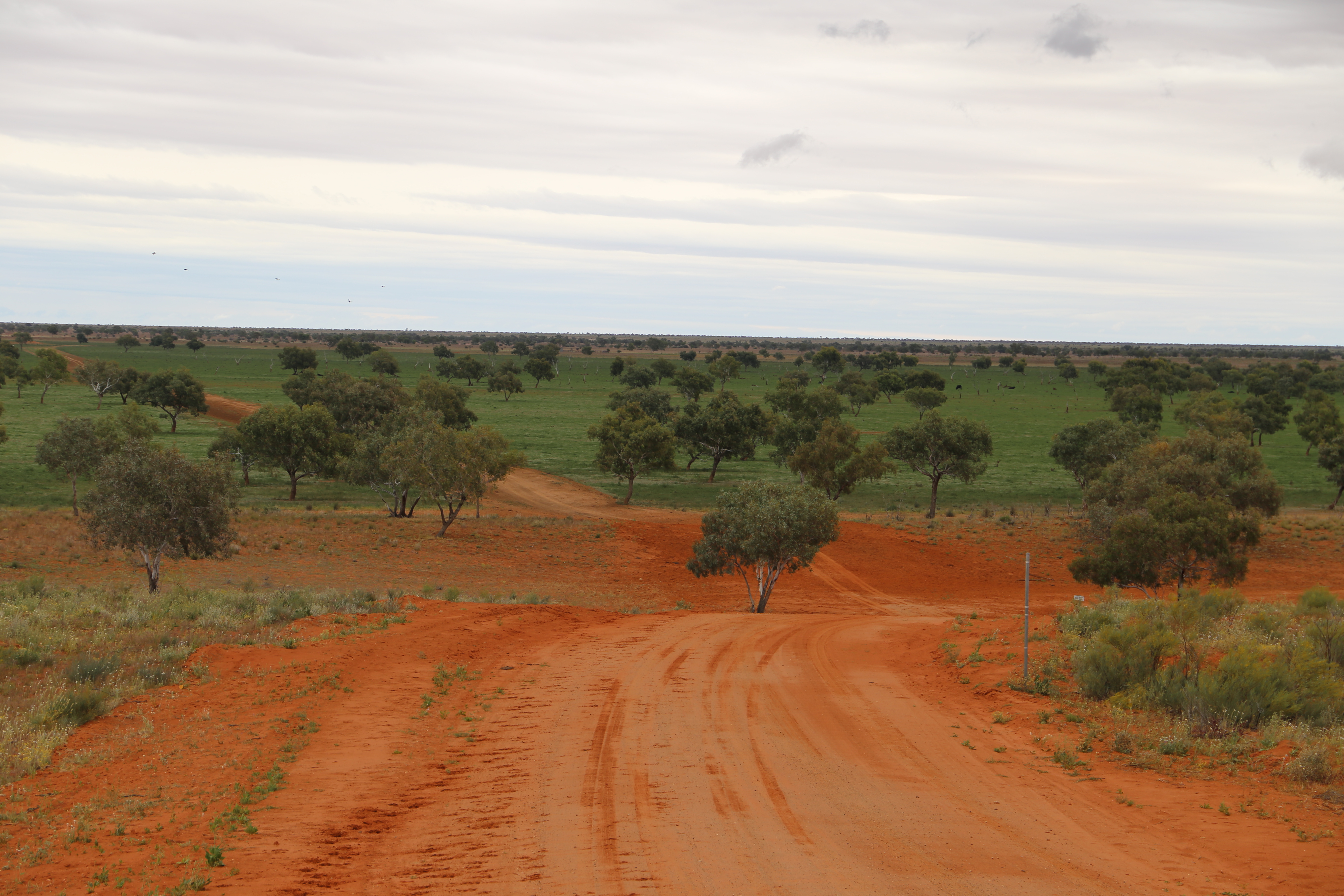
Much better colour than in ‘Dune’. 
Is this daisy a Brachychome? 
I think this is Atriplex holocarpa (??) 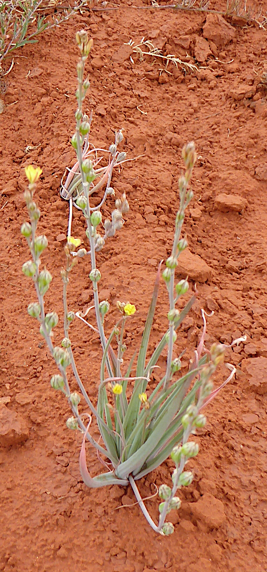
Bulbine alata 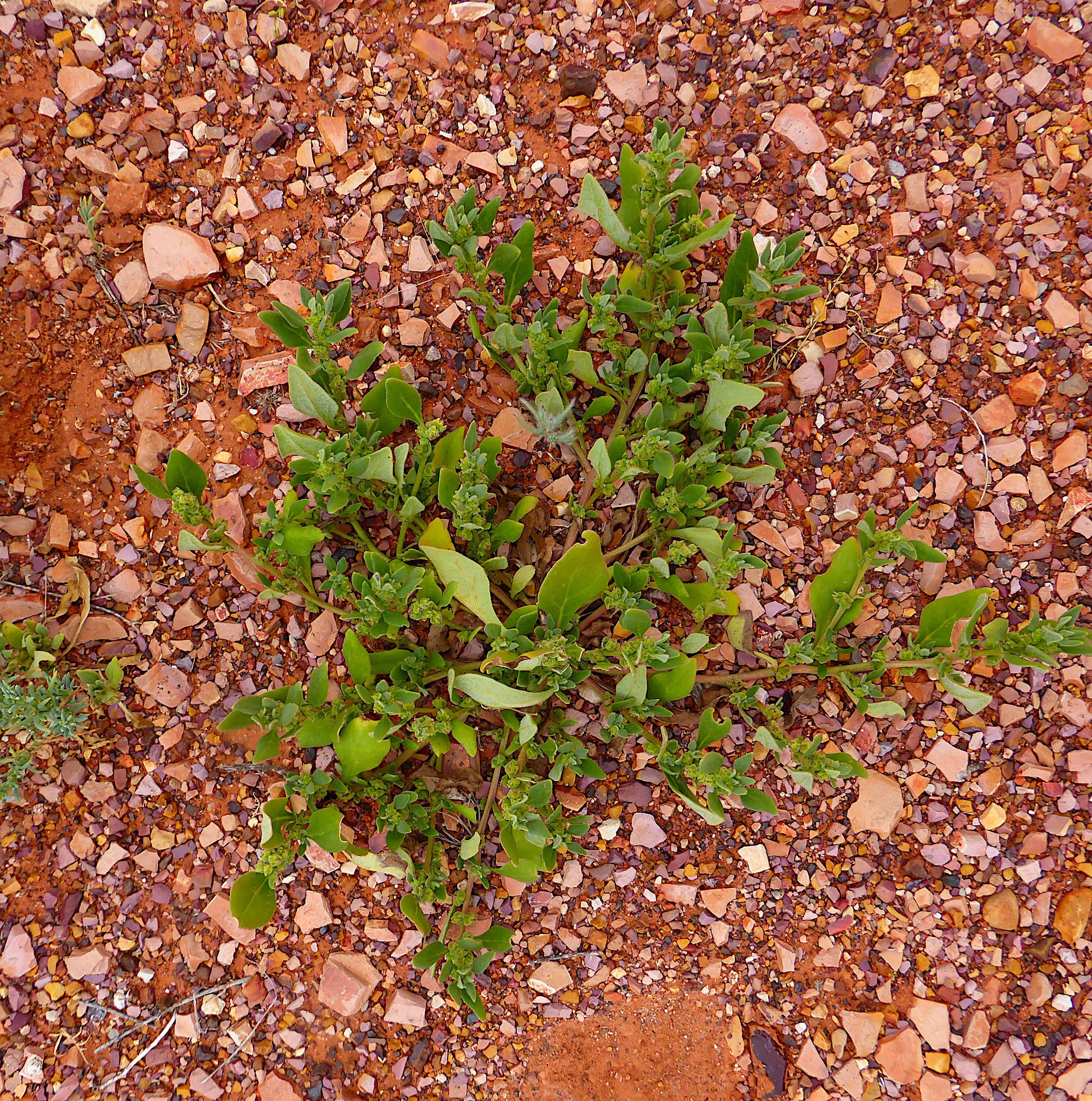
Tetragona sp.
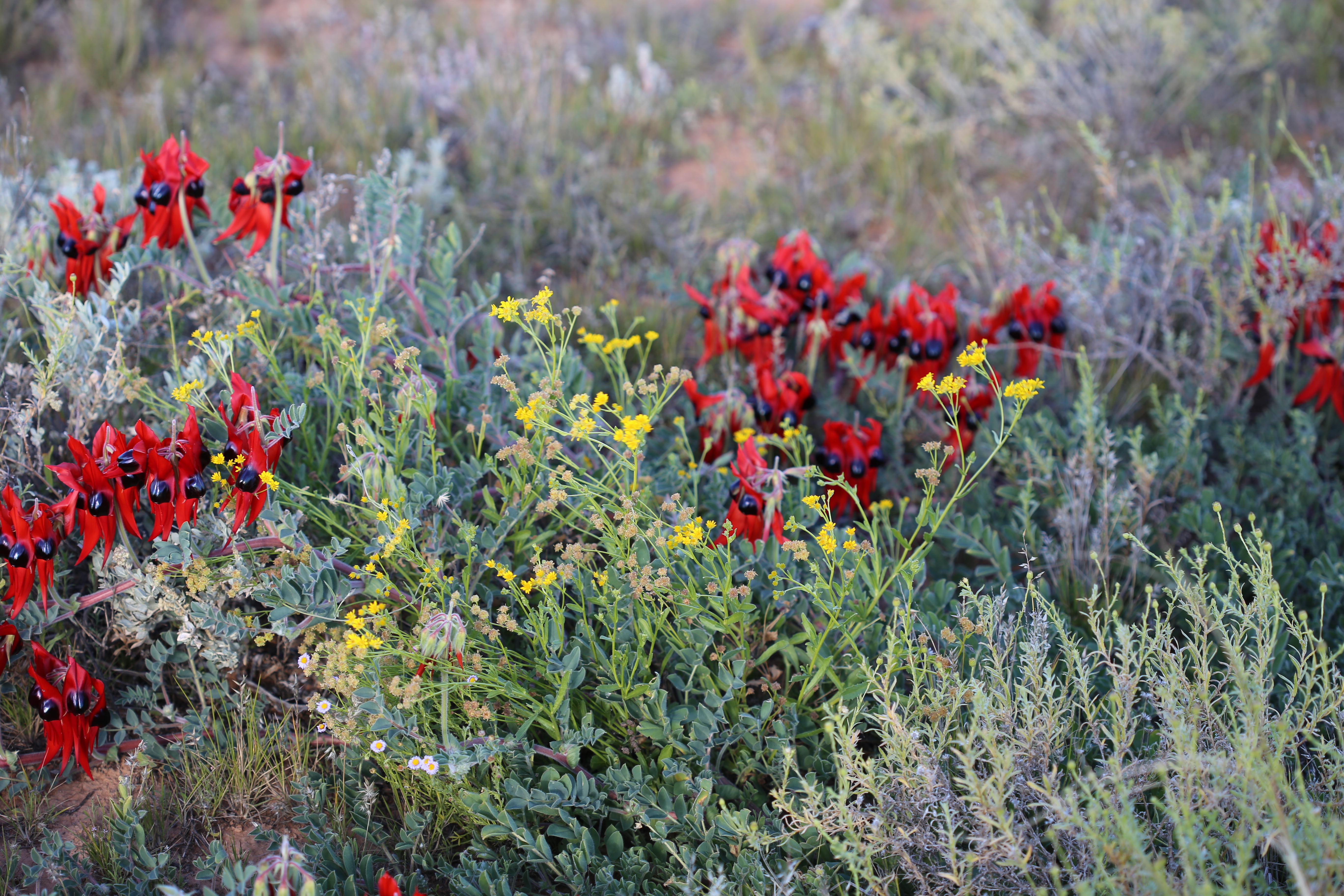
Lambert Centre of Australia: We camped here, the geographic centre of Australia. More importantly for us, the spot was a paradise of flowers, especially Calandrinia. Loved the ‘flick-dry’and ‘drip-dry’ signs on the toilet block! (I believe the block is now destroyed).

The replica of the flagpost on the Australian parliament is a bit kitsch but apt. Jobbo is not saluting! 
The explanation of the name. 
The dunny at the Centre of Australia! I’m told it has since been vandalised. 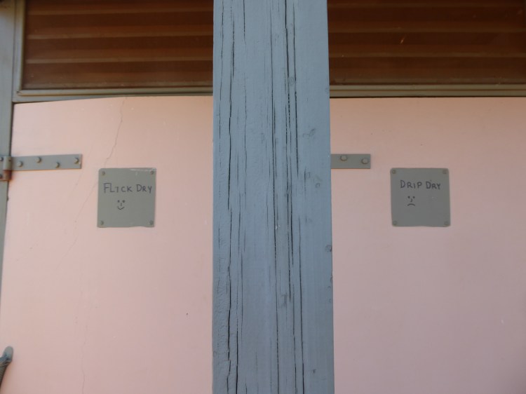
Magnificent explanations! 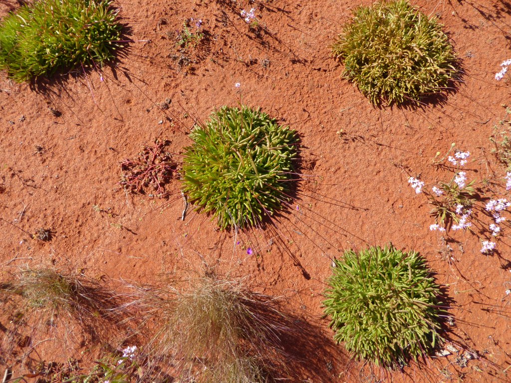
Three Calandrinia polyandra and what looks like a Portulaca. 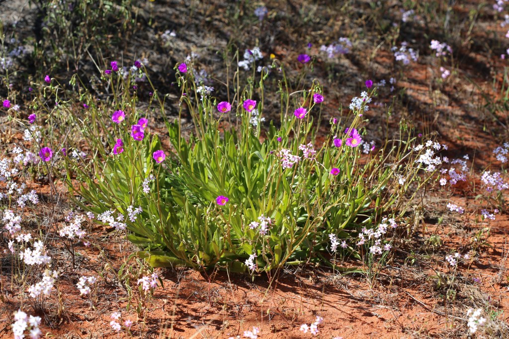
Calandrinia balonensis. Pretty. Don’t know what the white flowered species is. 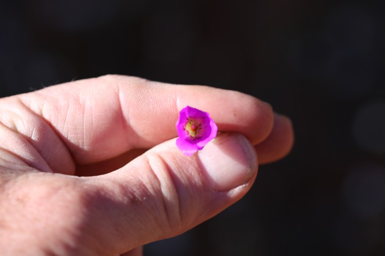
No shortage of pollinators. 
Calandrinia remota 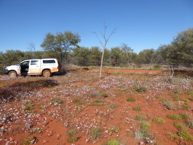
Campsite in a sea of colour.
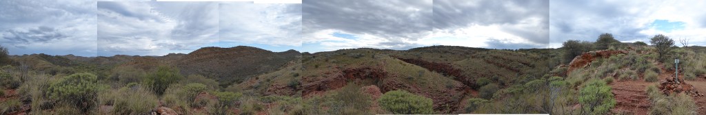
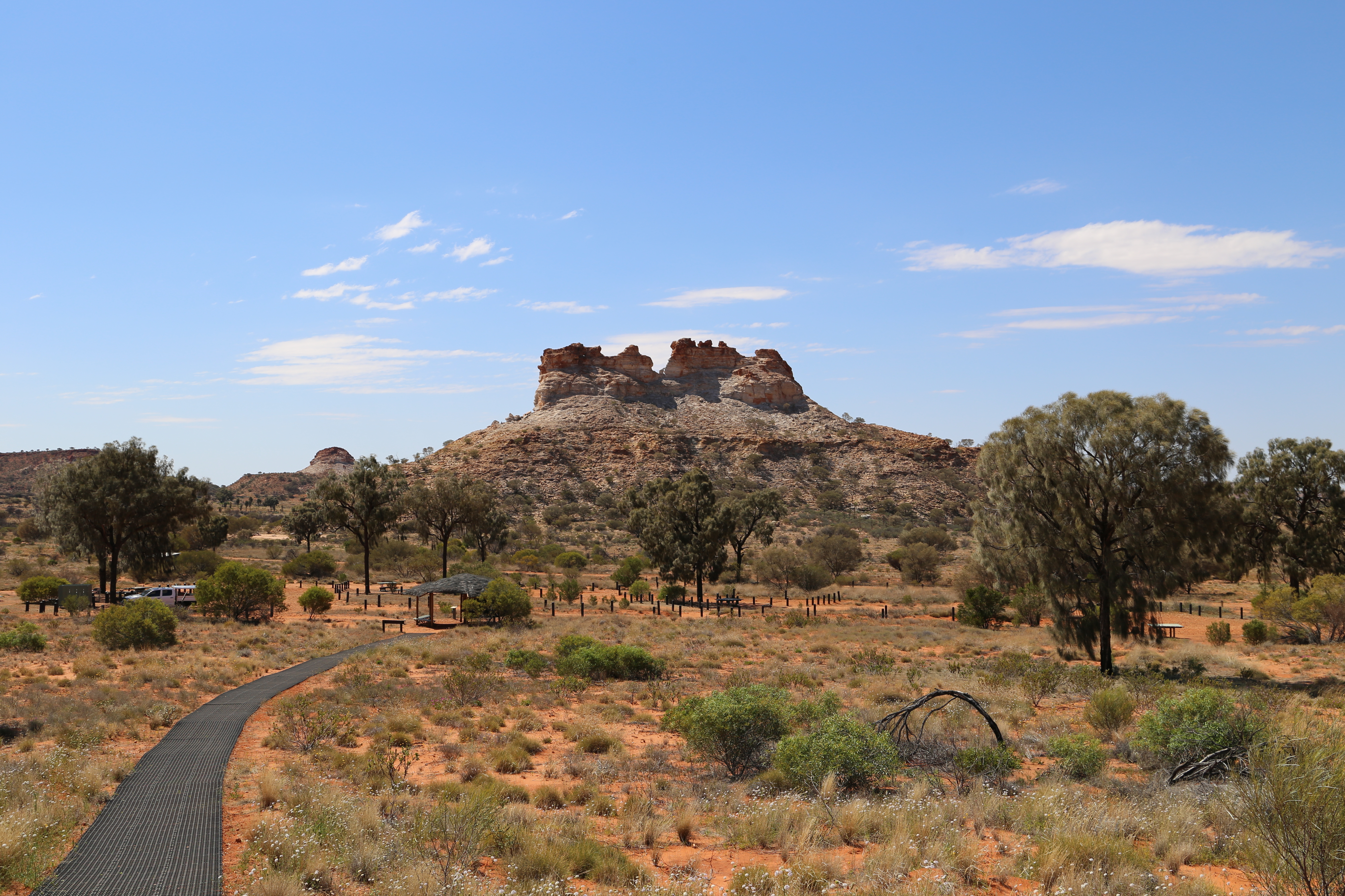
Trephina Gorge NP: is nestled in the east MacDonnells ca. 85 kilometres east of Alice Springs. The hills around the gorge are bisected with steep-walled erosion gulleys and the soil surface is covered in small angular stones (quarzite?). A lovely spot. The John Hayes waterhole is a welcome oasis.

The east MacDonnells 
The walk into Trephina Gorge. Note the steep eroded gullys and rock shards. 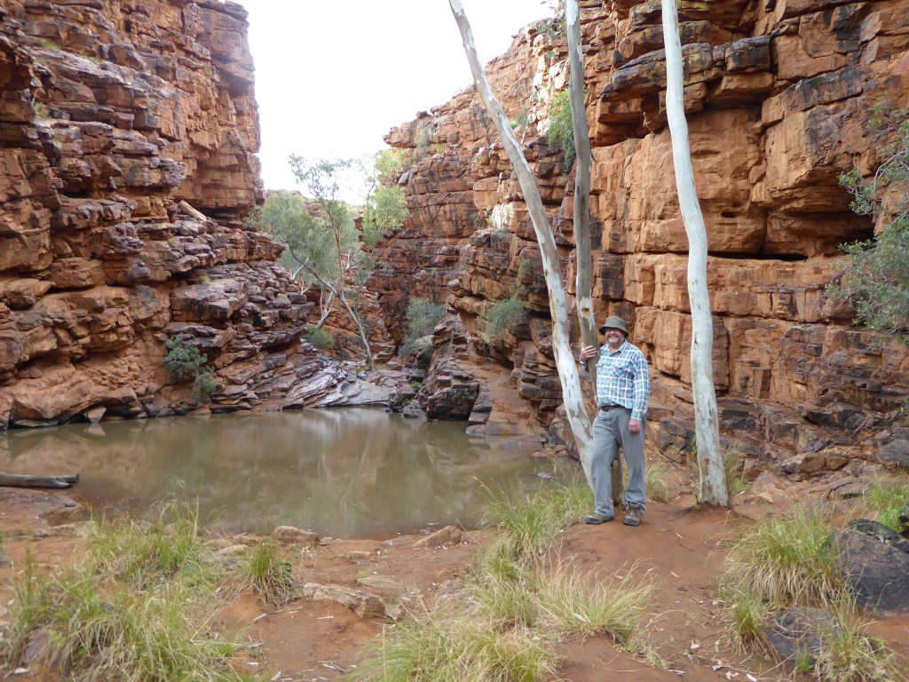
John Hayes waterhole and Peter Jobson. I think the tree is a ghost gum (Corymbia aparrerinja). 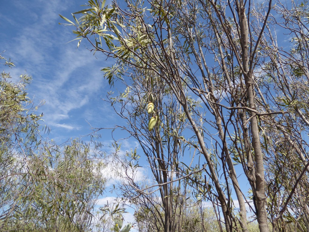
Marsdenia – the bush banana 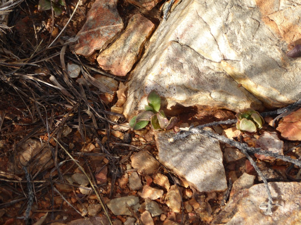
In my notebook I wrote Sedopsis but it looks like Anacampseros australis to me 
Rainbow on the walk out. Lovely.