ACROSS THE ARID AND SEMI-ARID TROPICS OF AUSTRALIA
In May 2013, in order to survey tropical succulents, in particular Calandrinia, I travelled west from Townsville via Mt Isa and the Barkly Tablelands to Darwin in the Northern Territory. There I met Professor Yarn Woodrow, University of Melbourne.
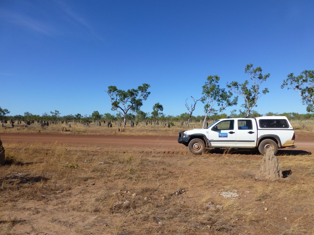
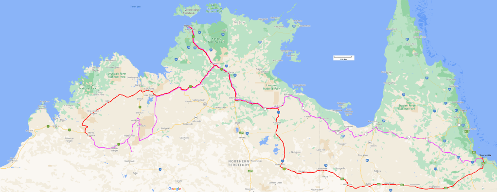
After introductions at the Darwin herbarium, we drove to the Kimberleys, taking the Gibb Road as far as the Devonian reef at Dimalurru (Tunnel Creek National Park), returning via the Great Northern and Victoria Highways, Wolfe Creek meteor crater, the Bungle Bungles (Purnululu NP) and Lake Argyle. Farewelling Yarn at Darwin I returned to Townsville via Boroloola and the Savannah Way, a track that skirts the Gulf of Carpentaria. A fine treck, passing through Hell’s Gate (o/n), Doomadgee, Burketown (o/n), Normanton, Georgetown (o/n) and Einasleigh. All up, the trip was about x,000 km.
Below is a route-map (as best as I recollect!)
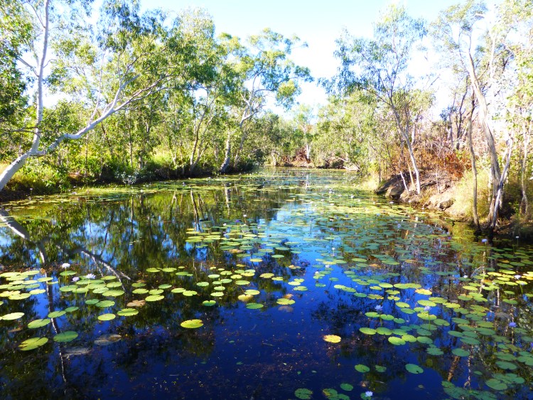
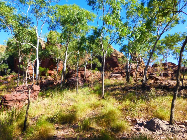
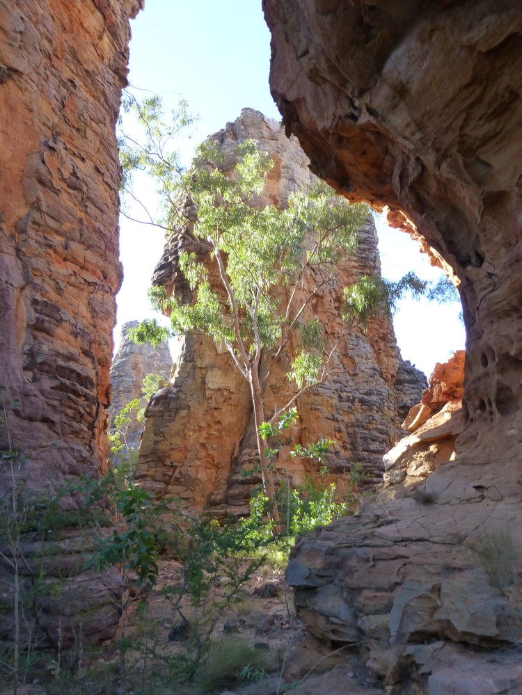
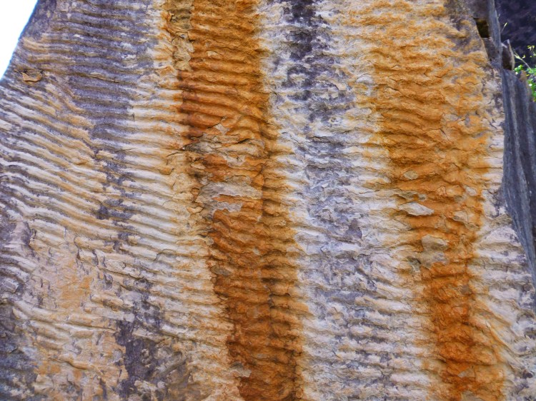
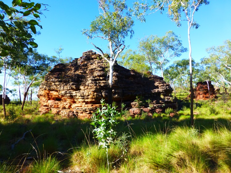
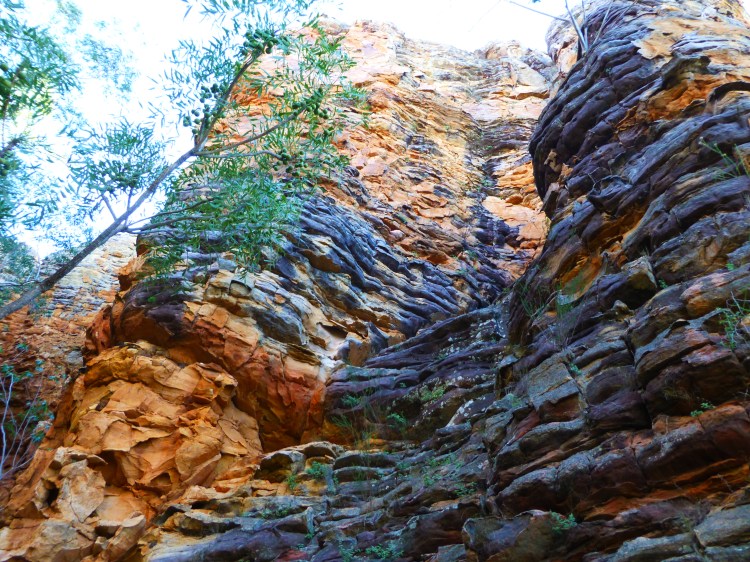
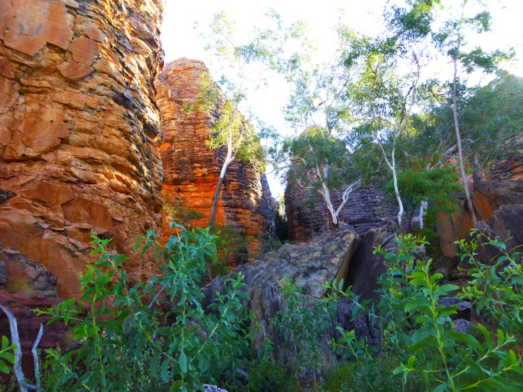
On the third night of the trip I camped at the Heartbreak Hotel, which is at the junction of the Carpentaria and the Barkly Tablelands Highways, NT. About 68 km east is the stunning Caranbirini Conservation Reserve (photos below). The reserve sports banded outcrops of Roper Group sandstone, the remnants of ancient Pre-Cambrian sea-bed and beaches. The bands are alternating deposits of medium-grained and finer-grained sandstone (https://depws.nt.gov.au/__data/assets/pdf_file/0004/272056/caranbirini-conservation-reserve.pdf). The formations are the product of sculpting by water flow coupled with reduced erosion of harder mudstone/shale/limestone/sandstone caps (http://exploringtheearth.com/wp-content/uploads/2017/03/NTGeolMap06.pdf).


Still hunting for photos of the rest of the trip…not sure where I stored them